Manage Additional Layers
As administrator you can add additional data layers for users to include in their maps. Currently only file-based datasets are allowed.
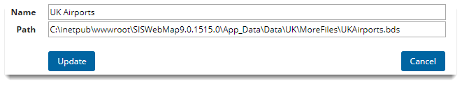
The data needs to be stored and defined using a location and path which is relative and accessible by GeognoSIS.
Select Layers > Manage Additional Layers from the main menu:
TIP: See also More Mapping for WebMap User.
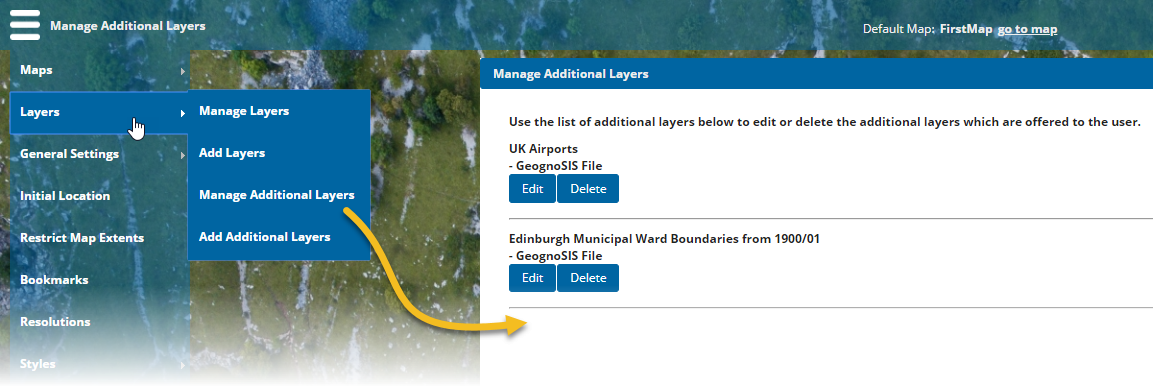
You will see a list of all the current base and data layers for the current map. Edit or Delete any layer by clicking on the relevant button.