
Neighbours provides a simple means of finding all the properties within a defined buffer distance of the selected property. The results of the spatial search within the buffer are displayed in a table. Properties can be added to or removed from this list before exporting the results as a comma separated file. This file can then be used for creating a “mail merge” of notification letters to interested parties. Optionally a JPG image or a PDF document is created of the buffered area of the map.
Select the property polygon that you want to create the buffer around, then select Neighbours to display the Neighbour Notifications screen:
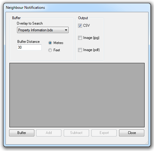
First select the overlay to be searched from the Overlay to Search drop-down list. Make sure this overlay is visible in the Map Window.
Next enter the buffer distance in the Buffer Distance text box and select the required units radio button.
Click Buffer to create the buffer in the Map Window and list the properties which lie inside or overlap the buffer in the Neighbour Notifications dialog. The properties will be shown 'selected' in the Map Window.
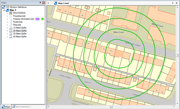
The buffer is created as a new appropriately named overlay, for example 30 Metre Buffer:
.gif)
The properties which lie inside or overlap the buffer listed in the Neighbour Notifications dialog:
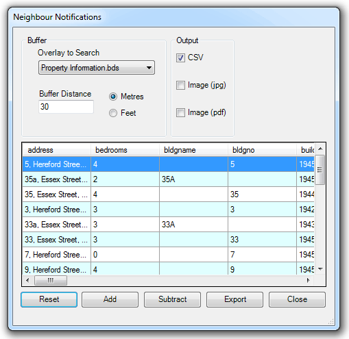
To add or remove properties from the list, click Add or Subtract and click on a property on the map.
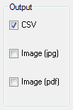
Finally, check the output option tickbox(es) you require in the Output group of the Neighbour Notifications dialog:
Note: If you intend using the CSV output to generate 'mail merge' letters you should ensure you have the relevant address fields in the schema.
Click Export and browse to the required location for the output file(s).
To see a Table View of the new buffer overlay click Table [View-Document Views].
The following screen shows example buffers of 10m, 20m, 30m and 40m:
Send comments on this topic.
Click to return to www.cadcorp.com
© Copyright 2000-2017 Computer Aided Development Corporation Limited (Cadcorp).