 Match Points Match Points
Match Points will find routes between points which are matched on the basis of an attribute.
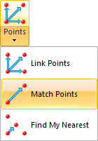
Select Match Points.
The Match Points dialog will be displayed:
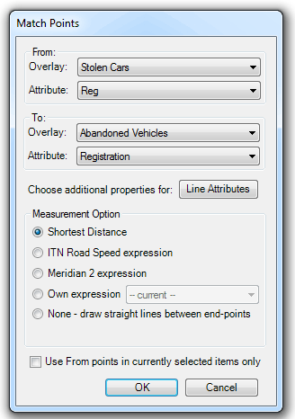
For example, suppose you have an overlay showing locations from where cars were stolen and an overlay showing where abandoned cars were found. Both of these have an attribute containing the registration number of the vehicle.
This command will find items in Abandoned Vehicles where the value in the attribute Registration matches the value for the attribute Reg in Stolen Cars and create routes from place of theft to place of abandonment using the selected Measurement Option.
This will produce output like:
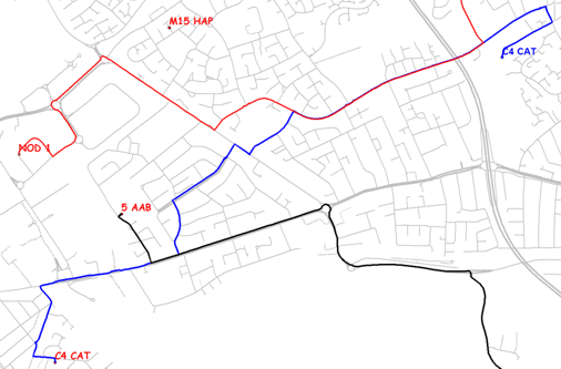
From this fictitious example it can be seen that the two vehicles NOD 1 and C4 CAT were taken from similar locations, dumped at similar locations and the two respective shortest routes have common elements.
Other options:
There is an additional selection available in Measurement Option called None – draw straight lines between end-points. This is to allow large datasets to be processed quickly, i.e. the time taken to route-find over a network increases with distance.
The Line Attributes button allows the selection of attributes from the matched points to be applied to the route line.
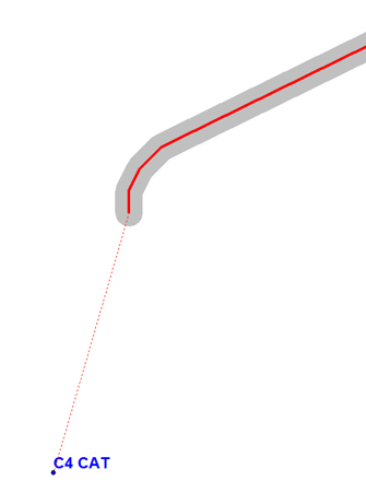
If a point is more than 10 metres away from the network link then the network trace is supplemented with lines to/from the point to the network. In the example below C4 CAT was abandoned approximately 50m away from the end of a minor road:
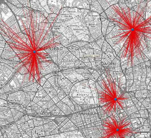
Match Points also has a straight line option, i.e. where the ‘route’ between points with a common attribute is drawn as a straight line. This is useful for Spider Analysis.
Send comments on this topic.
Click to return to www.cadcorp.com
© Copyright 2000-2017 Computer Aided Development Corporation Limited (Cadcorp).