Iso-route
Iso-route constructs an iso-route (traced network) from a point.
The iso-route is traced over existing graphics; it shows the distance you could travel if you were leaving from a given point and your journey was subject to given conditions.
Cadcorp SIS Desktop creates the iso-route as a MultiLineString item which covers all the places that can be reached.
TIP: As it overlays existing data, we recommend creating isoroutes on a different overlay from the original data. This ensures you can also view them easily.
Select Analysis > Routing > Iso-Route
This opens the Iso-route dialog:

Select one of the iso-route options.
- Shortest - Show all locations that can be reached via a route shorter than the distance entered as a Limiting value
- Well-known- choice of well-known mapping networks.
- Custom Expression - Select this option to use an expression to calculate the iso-route. For e.g. an expression may be used to take into account the speed limits on the roads in order to calculate an iso-chrone based on time rather than distance.
Limiting value
Use the current linear units set in the Units tab (Home > Map > CRS)
Using Iso-route (example)
This shows how to construct an iso-route which covers all places on a street map which are within 1000m of a hospital. Alternatively you could carry out drive-time analysis and find out where you could reach in a given time when starting from a given point and driving at a given speed (which would be useful at a Fire Station).
- Make a suitable overlay into the current overlay.
- Select Iso-route
- Select one of the Iso-route options.
Well-known Route options
TIP: Many of these options are similar to the ones available in other routing options.
- Shortest Route
- OS (GB) MasterMap Highways Network
- OS (GB) ITN
- OS (GB) Open Roads
- OS (GB) Meridian 2
- OS (GB) Meridian 2 (Motorways and A Roads)
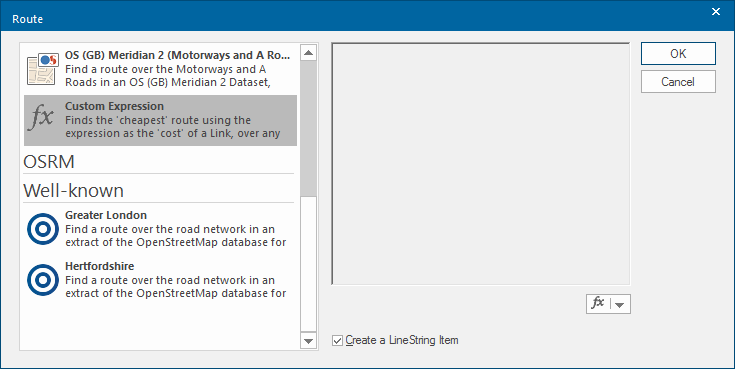
Custom Expression
Finds the 'cheapest' route using the expression as the 'cost' of a Link over any Link/Node network.
Shortest Route
To find the shortest route, the _length# property of the items is used.
You could create an expression to enable the “cost” of each link to be used, or if the expression were:
_length#/SpeedLimit&
then the time for each link would be calculated.
Note: The attribute SpeedLimit& must exist for each link.
Enter a limiting value. This gives the furthest point to which the iso-route is constructed in any direction from the starting point.