Ordnance Survey (GB) Travelmaster/Strategi 1:250000 (*.ntf,*.shp, *.tab)
50km square tiles at 1:250 000. Vector dataset.
Strategi maps provide medium scale regional overviews. They show geographical features and simplified routing information.
Note: On 1st April 2010 Strategi was made available as part of OS OpenData™ in DXF, ESRI Shapefile and TAB formats. Prior to this date, Strategi formats included NTF and Mid/Mif.
If Strategi data is loaded in NTF SIS Desktop 9 will apply the feature table when the data is loaded.
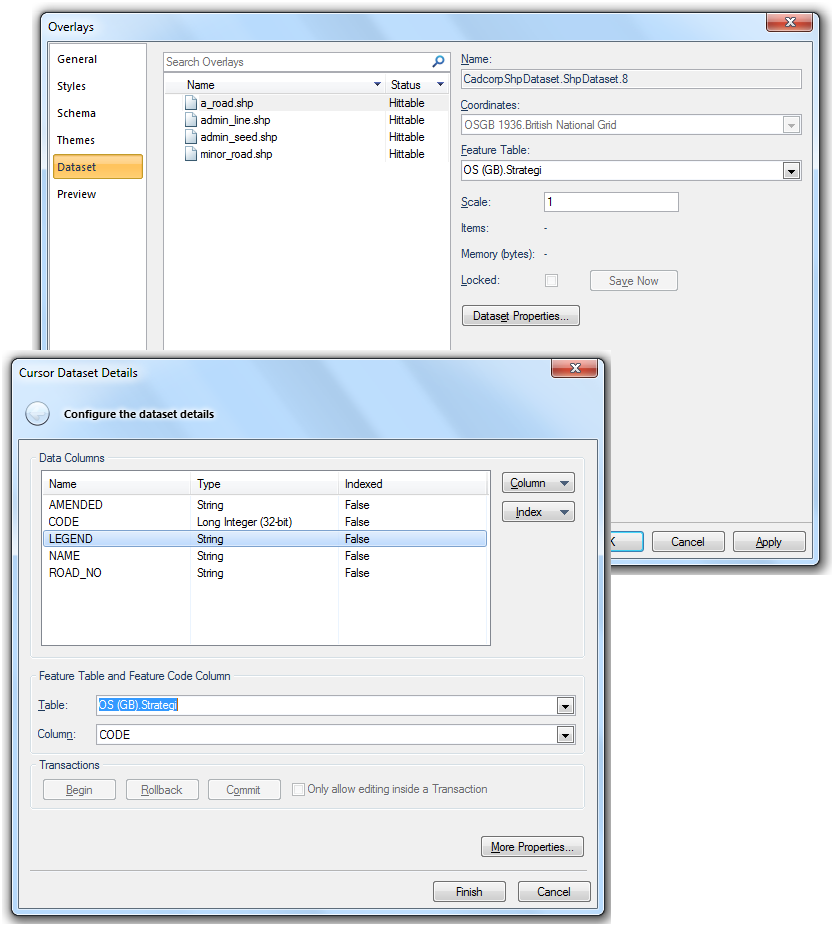
If Strategi data is loaded in DXF, ESRI Shapefile or TAB formats SIS Desktop 9 will not apply the feature table. In this case styles are taken from a selected feature table as described below.
A Feature Table is chosen to get information about available feature codes, and to create a default Feature Filter.
For example here we are specifying which column in the database (or .shp, in this case) is the feature code and what feature table is to be used. When these are added you also have to select a column and feature table to style them.
Compatibility:
- Cadcorp SIS Desktop
- Cadcorp SIS Desktop Express
- Cadcorp SIS ActiveX Modeller
- Cadcorp SIS ActiveX Manager
- Cadcorp SIS ActiveX Viewer
- Cadcorp GeognoSIS
