Digital Chart of the World
Digital Chart of the World (DCW)  is the geographical database developed by the USA Defense Mapping Agency, in accordance with the Vector Product Format (VPF).
It is based primarily on the 1:1,000,000 Operational Navigation Charts (ONCs) and 1:2,000,000 Jet Navigation Charts (JNCs) developed by the Defense Mapping Agency (DMA).
DCW has world-wide coverage and supplied as a set of CDs.
Select Home > Add Overlay > Miscellaneous > Digital Chart of the World and click Finish.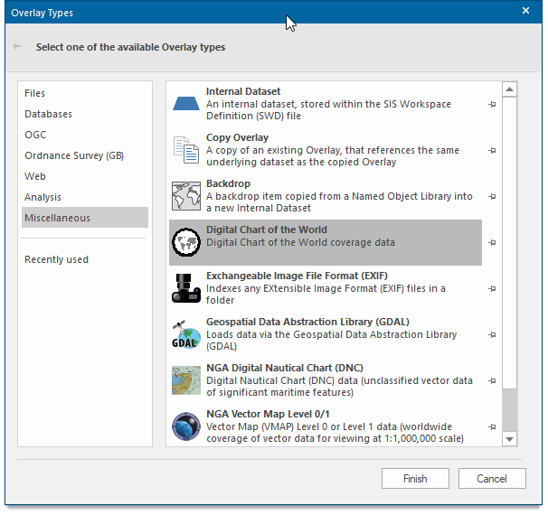
The Digital Chart of the World dialog is displayed to enable navigation to the location of the data.
Example
Click on Gazetteer... to display the Gazetteer dialog:
Enter a name in the Enter Place Name box and click Find.
Select the required Place Name from the displayed list and click OK.
In the Digital Chart of the World dialog select the Coverage to load:
In this example Hypsography(HY) is selected.
Click OK.
The Map will be displayed, for example: