OS (GB) MasterMap ITN Layer

Note: The Network Manager allows data supplied directly from Ordnance Survey to be loaded into SIS Desktop without translation.
Select Add Overlay > Ordnance Survey (GB) > OS (GB) MasterMap ITN Layer.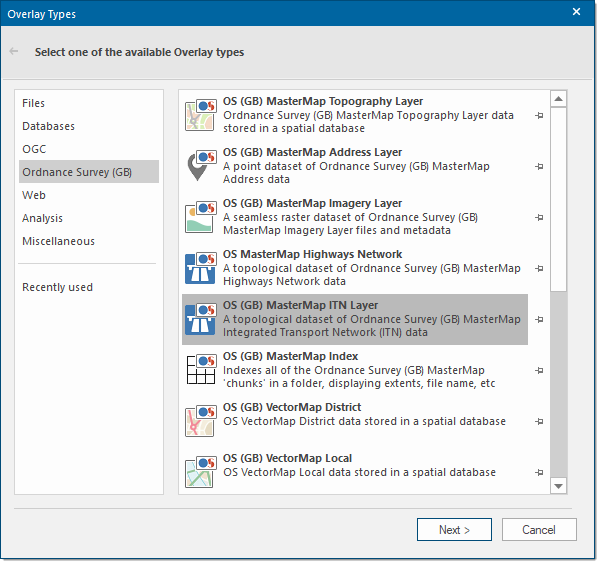
Click Next to display the Ordnance Survey MasterMap ITN Layer dialog. 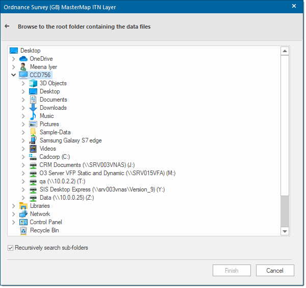
Browse to the root folder containing the OS (GB) Mastermap ITN Layer files and click Finish:
The GML/GZP files are loaded natively and displayed. It is possible to recursively search and thus display ITN files found in sub-folders below the root folder you select.
As with all data types that can be loaded into SIS there is nothing to stop you opening multiple Ordnance Survey data types together. Here for example the Imagery Layer and ITN Layer are overlaid:
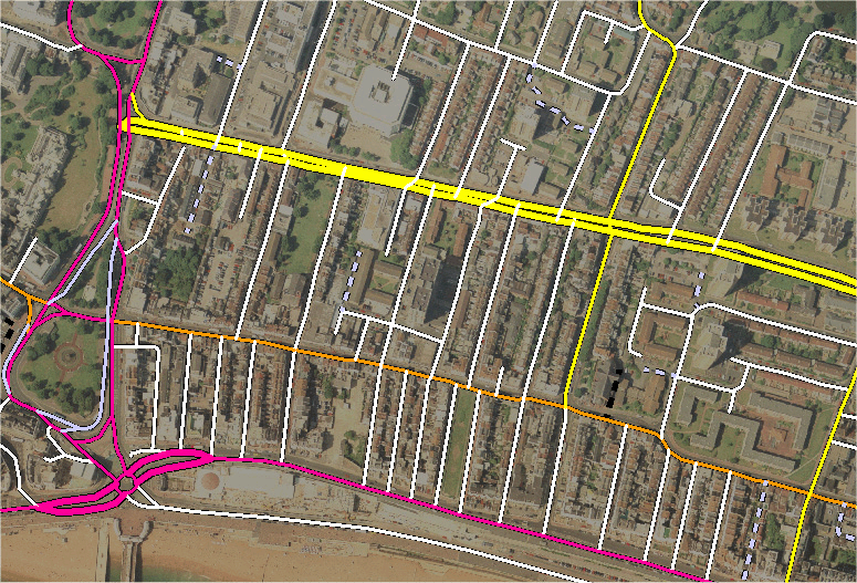
SIS Desktop supports Urban Path elements which extend the value and capability of OS MasterMap ITN Layer to include urban path network geometry suitable for non-vehicular users including pedestrians, cycle and wheel chair users.