OS (GB) VectorMap District

A dataset that views OS VectorMap District data stored in any of the spatial databases supported by the Cadcorp SIS OS VectorMap Manager: Oracle Locator/Spatial; PostGIS; and Microsoft SQL Server Spatial.
Note: OS (GB) VectorMap Manager allows data supplied directly from Ordnance Survey to be loaded into SIS without translation and also handle COU updates.
- Select Add Overlay > Ordnance Survey (GB) > OS (GB) VectorMap District.
- Click Next to display the Database Types dialog:
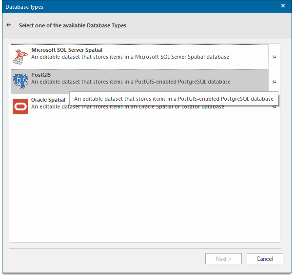
- Select the database in which the OS VectorMap District data is stored and complete the connection dialog:
Microsoft SQL Server Spatial Dataset
An editable dataset that stores items in a Microsoft SQL Server Spatial database using the planar geometry type. This allows Cadcorp SIS Desktop to interoperate with other software that supports the Microsoft SQL Server Spatial database planar geometry type.
PostGIS
An editable dataset that stores items in a PostGIS-enabled PostgreSQL database using the PostGIS spatial schema.
This allows Cadcorp SIS Desktop to interoperate with other software that supports the PostGIS spatial schema.
Oracle Spatial
This is an editable dataset that stores items in an Oracle 9i, or later, Spatial database, using the Oracle Object-Relational schema.
This allows SIS Desktop 9 to interoperate with other software that supports the Oracle Spatial Object-Relational schema.