OpenStreetMap
Connects to the OpenStreetMap database via the RESTful API and downloads data with the current extents.
The maximum extents allowed is one fifth of a degree in longitude and latitude. Note that the OpenStreetMap server may also impose other load-based limits.
Select Home > Add Overlay > Web > OpenStreetMap and click Finish.
The OpenStreetMap dialog will be displayed:

Configuration:
- Nodes - are points with a geographic position.
- Relation - are groups of nodes, ways and other relations which can be assigned certain properties.
- Ways - are lists of nodes, representing a polyline or polygon.
Skip OpenStreetMap 'tags' - can be applied to nodes, ways or relations and consist of name=value pairs.
Click OK.
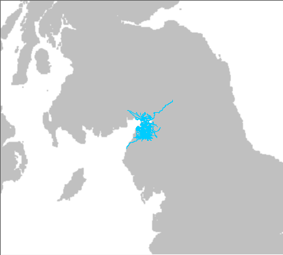
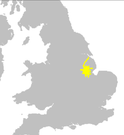
Examples of resulting displays:
To print OpenStreetMap or Bing datasets, we recommend creating the SWD using the WGS84.Pseudo Mercator Coordinate Reference System, i.e. add this layer to the SWD first. If you have already created the SWD in any other Coordinate Reference System, ensure you set it to WGS84.Pseudo Mercator or Popular Visualisation Mercator before printing.