ESRI BIL (Grayscale) (*.bil)
This is an ASCII-based format commonly used for the storage and display of image data (Grayscale).

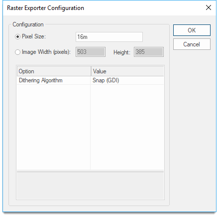
| Option | Description | |
|
Pixel Size |
This option allows you to specify the image resolution. |
|
|
Image Width/Height |
This option allows you to specify the output file size in pixels for width and height and the pixel size is in map units. |
|
|
Dithering Algorithm |
Select from Dither (GDI), Floyd-Steinberg, Snap (GDI), Snap (Palette). |
|
Arguments to Export API Method
- clsExport$
BILExporter
Compatibility:
- Cadcorp SIS Desktop
- Cadcorp SIS ActiveX Modeller
- Cadcorp SIS ActiveX Manager
- Cadcorp SIS ActiveX Viewer
- Cadcorp GeognoSIS
