Spatial Analysis- Thiessen Polygons
Thiessen polygons (also known as Voronoi or Dirichlet cells) can be generated from a group of point items. A Thiessen polygon is bounded at the intermediate distance between a point and its neighbours.
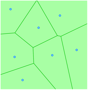
Here is an example of Thiessen polygons:
Thiessen Polygons are Polygons of influence which are automatically calculated based around items you have selected. Adjacent Polygon items are created whose boundaries are equidistant from the selected items.
Thiessen polygons can be used for zonation based on the discrete locations in a point dataset.
Polling stations, fire brigades, or police stations for example could be used as input dataset with the resulting Thiessen polygon layer describing the zone of influence for each station.
Thiessen polygons can be created by selecting two or more point geometries and selecting Thiessen Polygons (Analysis > Buffer).
For other geometry types centroids are used as input locations. The Thiessen polygons will be created on the current overlay. If the current overlay is not editable, a new internal overlay will be created.