Create an OGC Web Map Service (WMS)
The OGC Web Map Service (WMS) is a standard method of extracting map images in Raster form over the web.
The information the service requires to generate the right image is encoded into a URL and the map can be served up to any web client (including other vendors’ OGC compliant servers).
GeognoSIS can act as an OGC server. These servers can potentially be located anywhere and their data accessed via software which implements the appropriate OGC specifications.
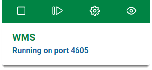
Click the View icon to open the instance you will use to host the WMS.
To add data to GeognoSIS use either of these two methods:
Use this method to upload maps which places a copy in a GeognoSIS folder.
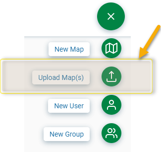
- Click the Action button in the top right corner and select Upload Map(s).
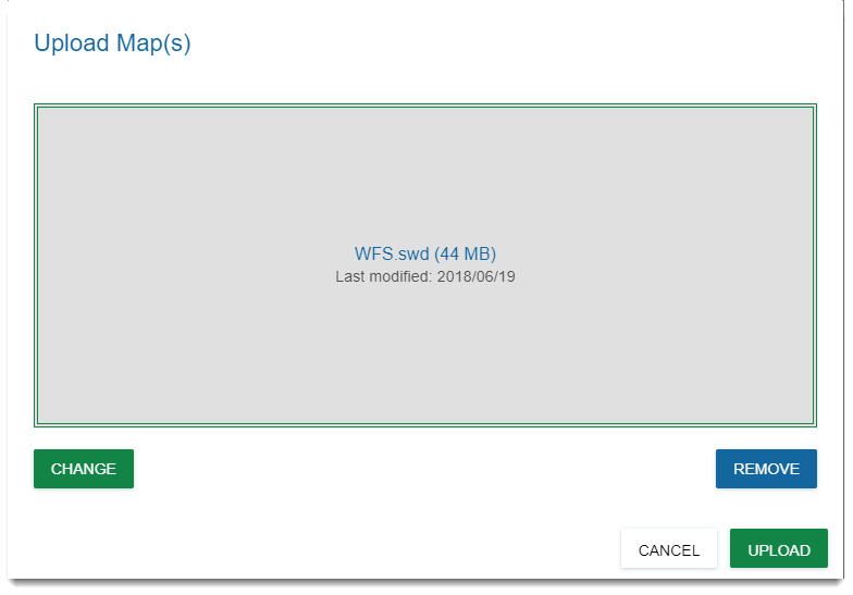
- Click Choose to open the a file browser and search for any SWD created in SIS Desktop. Alternatively just drag and drop a saved map directly into the window.
- Click Upload.
- Once uploaded you can see a preview of the map within your instance.
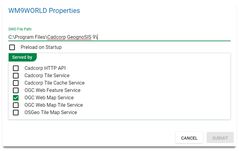
- Click on map properties and tick the box for OGC Web Map Service.
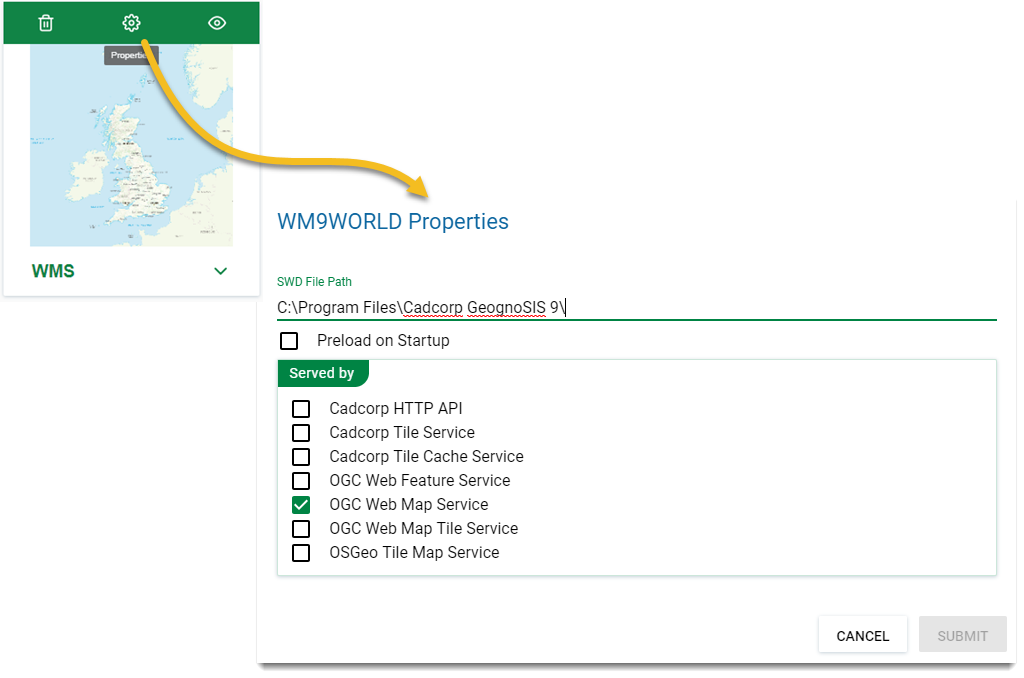
TIP: Make your data available quicker by checking the Preload on Startup option. This will also recognise any changes made in the data and update the service accordingly.
To discover the path used for the OGC WMS you have just created, look in the Web Services page for this instance and click the URL link button.
