About SIS Desktop
Cadcorp SIS Desktop is a powerful platform for the creation and preparation of geographic information.
SIS Desktop can be used for all phases of spatial data handling: preparation, creation, configuration and management, viewing, querying, editing, analysis and modelling.
Note: See here for a comprehensive overview of our flagship desktop GIS application.
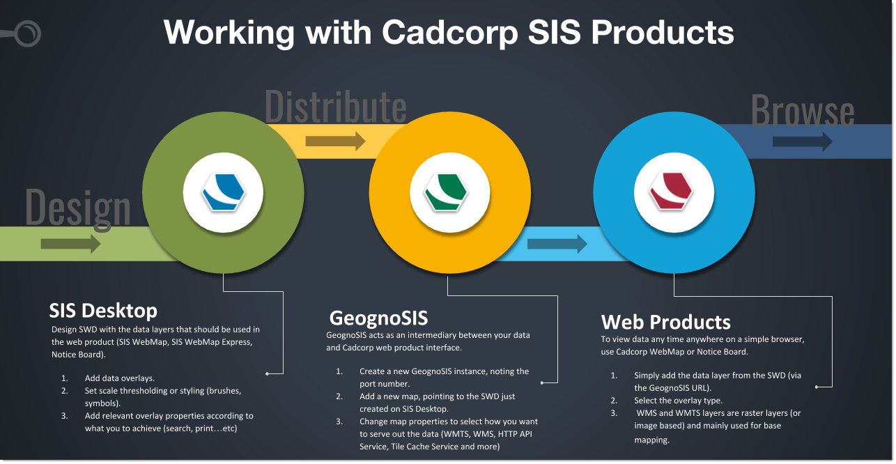
Cadcorp SIS Desktop‘s capabilities extend beyond desktop use; geospatial data can be curated and distributed online and accessed anywhere via a simple internet browser.
