About Overlays
Overlays are digital representations of real-world objects. They consist of a collection of similar objects (e.g roads, buildings, sales territories, flood zones etc).
Overlays appear within the Map Window and are controlled within the Maps tab.
Working with Overlays
The Overlays window contains much of the overlay functionality.
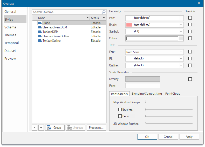
This includes changing status, assigning scale thresholds, changing overlay styles, controlling what is seen in the Table View and so on.
To see the Overlays window:
- choose Home > Map > Overlays (OR)
- press F2 when the focus is in the map window (OR)
- choose the Overlays... from the default local menu (click the right-hand mouse button in the map window with no items selected) (OR)
- select Overlays... from the local menu of an SWD in the MapsControl Bar.
For more information see What is an Overlay?