Adding Overlays
Overlays are digital representations of real-world objects. An overlay in SIS Desktop usually consists of a collection of similar objects (e.g. roads, buildings, sales territories, flood zones.)
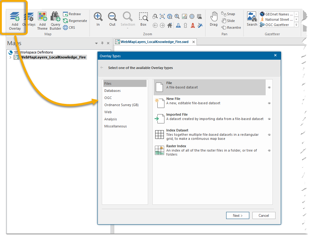
To add your data as an overlay to the Map Window use Home > Map > Add Overlay 
Ensure you have a Basemap on which to stack the overlays. See Landing Page for information.
Select any of the supported formats in Cadcorp SIS Desktop. These may be stored as files or in databases on your PC or network.
The most common and easiest way to add data is to use the Files format.
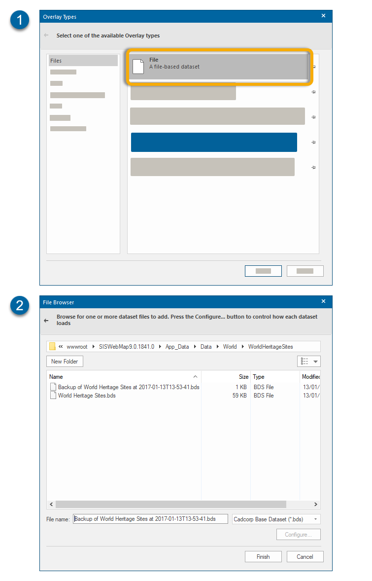
Select Files, click Next and select your required dataset from the file browser.
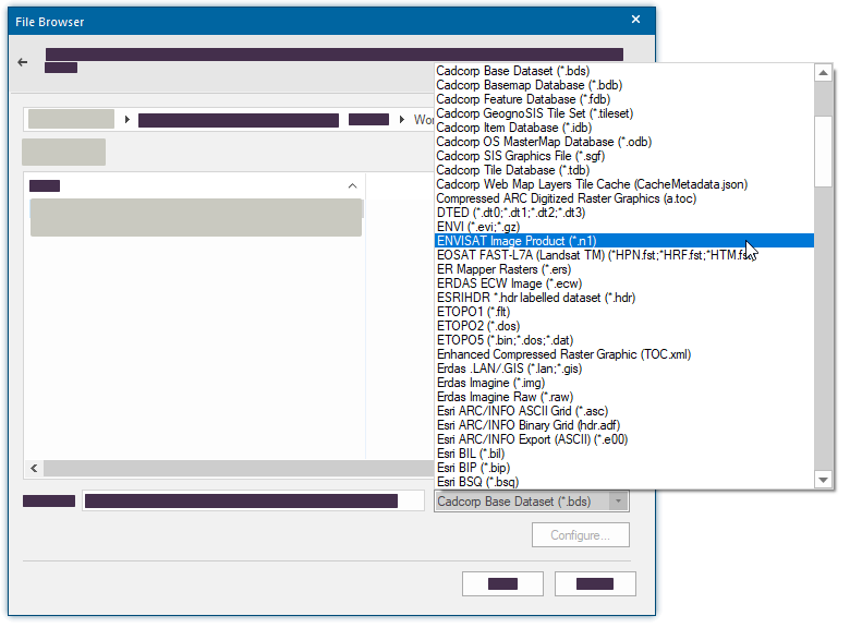
SIS Desktop supports most known file formats:
For information on all other overlay types see Add Overlay