Groundplane
Checking and unchecking the Groundplane tickbox will toggle the Drape groundplane.
Select 3D > View > Groundplane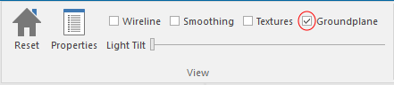
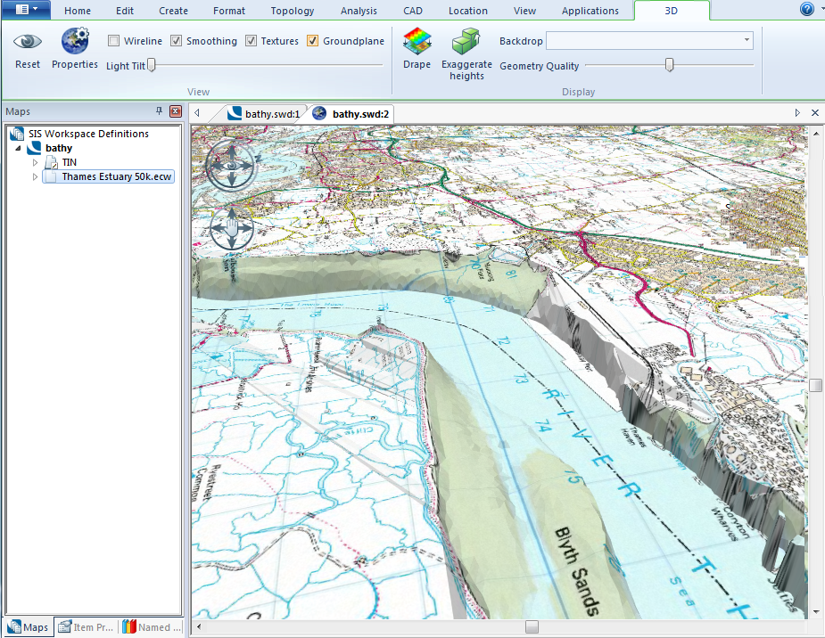
Example of the use of the Groundplane
If you have created a 3D tin of a riverbed and want to drape a 50K Raster over the top of it checking and unchecking the Groundplane tickbox will toggle the two displays as shown below.
With the Groundplane tickbox checked no data below the Groundplane 0m level will be shown:
With the Groundplane tickbox unchecked the data below the Groundplane 0m level will be shown:
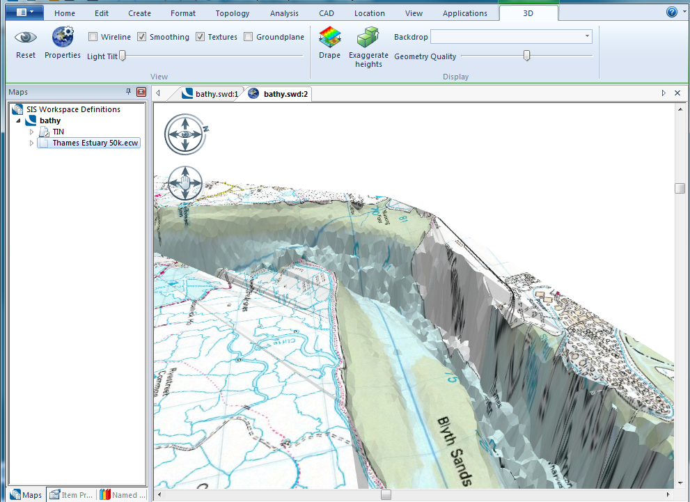
Note: Ensure the Drape Overlay (i.e. Thames Estuary 50k.ecw) is made Invisible in the tree view. If the Drape Overlay is Visible it will overlay the map in the 3D window resulting in the data below the Groundplane being hidden.