Blending OS MasterMap with OS Street View
When you build your Ordnance Survey stack with scale thresholds, you may see large areas of white space when viewing MasterMap.
This is because you only have local coverage of MasterMap. As you pan to the edge of this data you have no mapping – just white space.
There is a simple way to see both Street View and MasterMap.
Example:
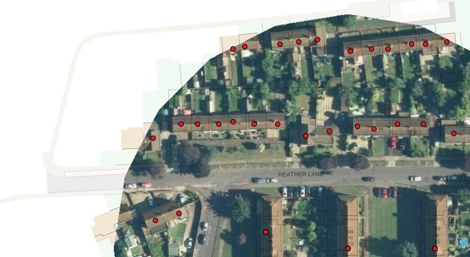
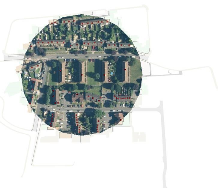
This is a sample of housing data. You can see the OSMM around the properties. The view is similar for aerial imagery.
|
|
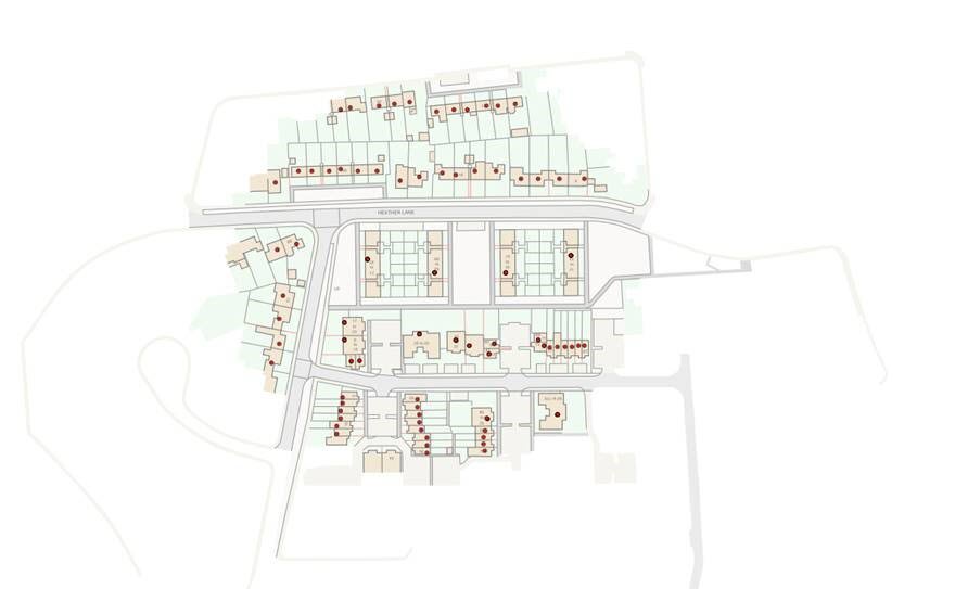
Remember the Mastermap is on but it has been obscured by the white space around the image.
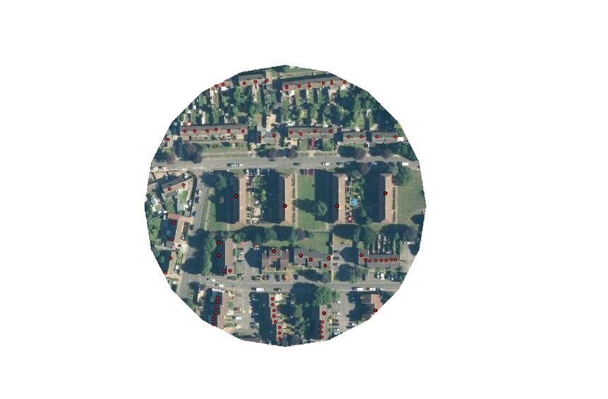
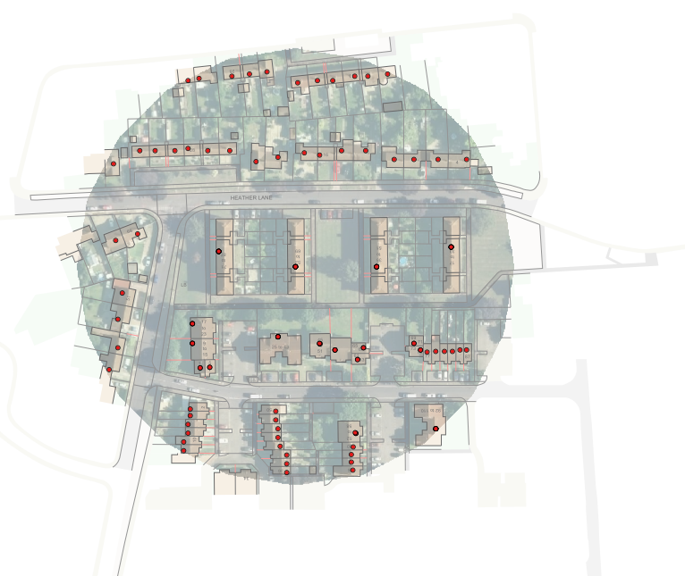
Forcing the white space to be hollow still gives us opaque images.
To see the outline of the building through the imagery, we use transparency sliders (Home > Overlay > Styles).
![]()
But we end up with this washed out effect.
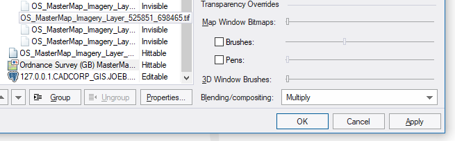
Turn off the transparency and set the blending to Multiply for the mastermap overlay.
Now we get better results with Street View becoming visible through MasterMap.
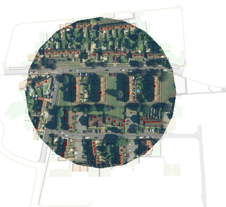
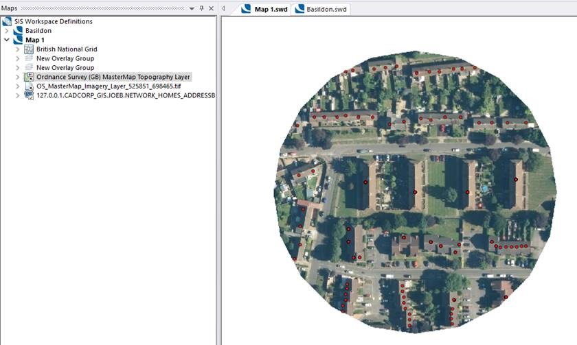
This is particularly useful for data capture like Grounds maintenance; here we can snap to the vectors in Mastermap but still see in the imagery what we are snapping to.