Symbol and Text Rotation
Exporting Symbol Rotation Information
Symbols can be rotated in RDBMS cursor dataset overlays using information contained in one of the attributes (table columns).
Symbol rotation information can be exported as a feature attribute when using the Cadcorp SIS Desktop export to server function.
Before exporting the data, ensure you add a column named _angleDeg# to the overlay schema:
TIP: See Expression Values (Angle)
Switching on Symbol Rotation
Symbol rotation can only be switched on when creating an RDBMS cursor dataset overlay.
Make a note of the column in the RDBMS cursor dataset table that contains the symbol orientation information before you start.
Ensure that an appropriate feature table has been linked to the overlay.
During the creation process click on More on the following dialog:
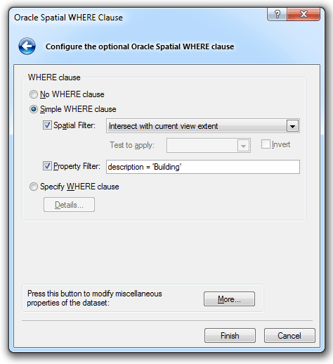
The following dialog will be displayed:
![]()
Click on the Properties button to display the Oracle Spatial dialog:
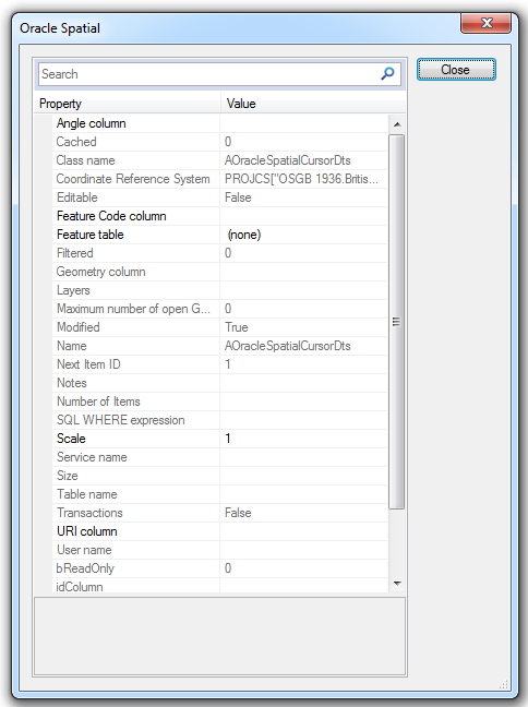
This dialog enables columns from an RDBMS cursor dataset spatial table to be mapped to Cadcorp SIS Desktop properties which in the case of Angle column (_angleColumn$) allows symbols to be rotated by the angle specified for that row in the table. For example, if your symbol rotation value is stored in COLUMN_X, enter COLUMN_X.
Exporting Text and Text Rotation Information to an RDBMS Cursor Dataset
When attempting to export data from Cadcorp SIS Desktop to an RDBMS Cursor Dataset that contains cartographic text, ensure that the text information has been converted to point text. Add the following attributes to the overlay schema (schema columns can be renamed to be user friendly).
| _text$ |
text |
| _angleDeg# |
text_orientation |
| _text_align& |
text_alignment |
| _point_height& |
text_height |
To display the text information correctly in an RDBMS Cursor Dataset overlay the appropriate columns need to be selected in the appropriate overlay connection configuration dialog.
For example:
.png)
Newly Drawn Items
Newly drawn items on an RDBMS Cursor Dataset overlay are not the currently selected items. This applies whether using the desktop or a GisLink API.