Export to Server (PostGIS)
Use File > Export > Export to Server to export a SIS data into a table in POSTgreSQL using the PostGIS Spatial Object-Relational Model.
Note: Ensure the target database has been correctly set up before exporting data to it.
To remember:
- Ensure the data you want to export is in an internal overlay.
- Check the names of the overlay and the schema column are compatible with PostGIS default naming conventions.
- Ensure the data conforms to the OpenGIS Simple Features Specification. Adjust the schema to suit your requirements. See Exporting to PostGIS for details of PostGIS naming conventions.
- Users should ensure that the overlay being exported is compatible with the existing PostGIS table. Cadcorp SIS Desktop will not add new attributes if the table definitions do not match.
TIP: When appending large volumes of data, PostGIS recommend that indexes on the target table are dropped and recreated after the append process has completed. This allows for faster uploading, and ensures that the spatial index does not degrade. Contact your database administrator for details.
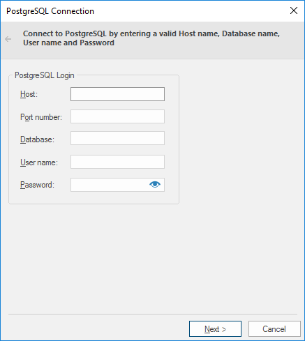
| Option | Description | |
| Host | The PostgreSQL database server host. | |
| Port number | The PostgreSQL database server port. | |
| Database | Specify the database name to connect to. | |
| User name | The PostgreSQL database user name. | |
| Password | The password for the specified PostgreSQL user name. | |
Click Next to open the SIS Overlay dialog.
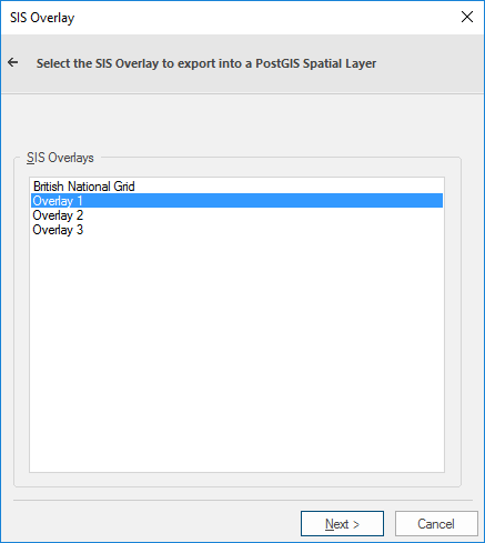
Select the required overlay to export to a PostGIS Spatial Layer and click Next.
The PostGIS Spatial Layer dialog will be displayed:
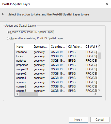
Select either:
- Create a new PostGIS Spatial Layer, or
- Append to an existing PostGIS Spatial Layer
If you selected Create a new PostGIS Spatial Layer, click Next and the PostGIS Spatial Layer Properties dialog will be displayed:
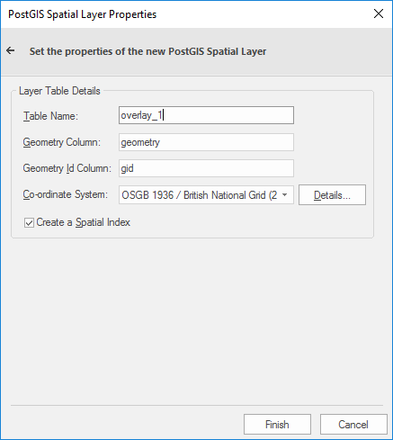
| Option | Description | |
| Table Name |
The name of the PostGIS spatial layer defaults to the overlay name. You can change this to any PostGIS compliant table name. |
|
|
Geometry Column |
The name for the column in the Oracle table is GEOMETRY (type: MDSYS.SDO_GEOMETRY). The name of the column can be changed. |
|
| Geometry ID Column |
The name of the ID column. |
|
| Co-ordinate system | The coordinate system associated with the spatial layer defaults to the coordinate system for the overlay. | |
| Create a Spatial Index | Check this tickbox if you wish to create a spatial index to optimize spatial queries. | |
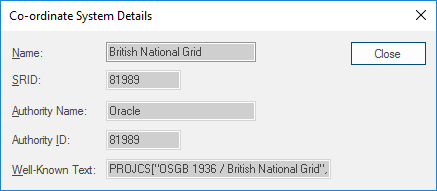
| Details |
Click the Details button to display the Co-ordinate System Details dialog: |
|
Click Close.
Click Finish.
TIP: If you selected Append to an existing PostGIS Spatial Layer select the existing layer from the list in the PostGIS Spatial Layer dialog and click Finish.