OS (GB) MasterMap Imagery Layer

- Select Add Overlay > Ordnance Survey (GB) > OS (GB) MasterMap Imagery Layer.
- Click Next to open the file browser.
- Find the root folder containing the OS Mastermap Imagery Layer files and click Finish.
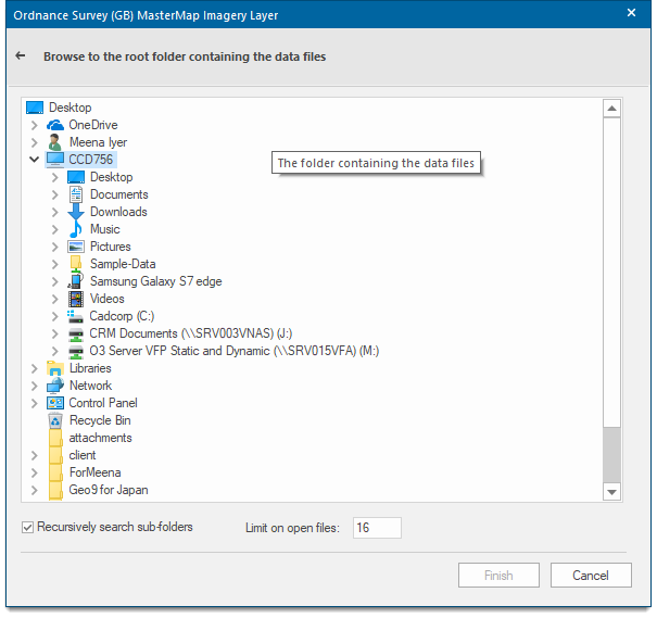
The raster images in the folder are displayed. You can limit the number of files opened. It is also possible to recursively search and thus display images found in sub-folders below the root folder selected.