OS (GB) MasterMap Index
- Select Add Overlay > Ordnance Survey (GB) > OS (GB) VectorMap District.
- Click Next to display the Database Types dialog:
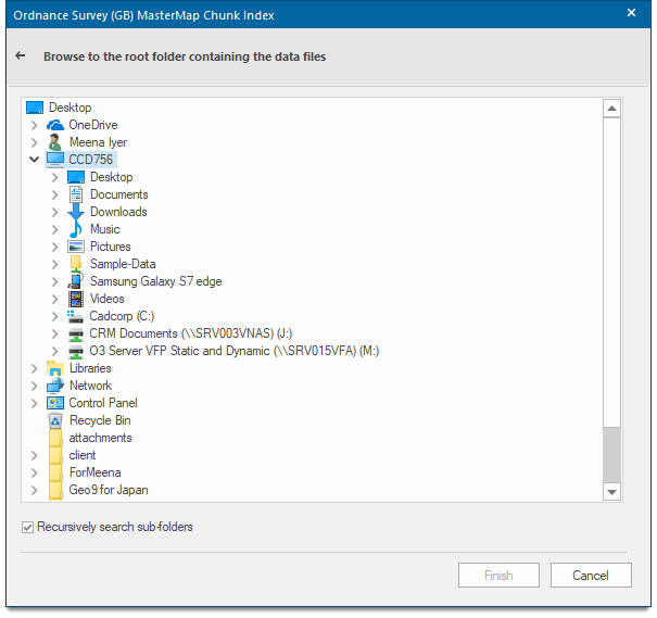
Use the Browse for folder dialog to find the root folder containing the OS (GB) MasterMap GML/GZIP files and Click Finish.
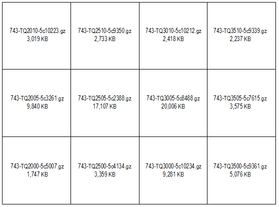
The GML/GZP file extents are loaded and displayed. It is possible to recursively search and thus display files found in sub-folders below the root folder you select. The information displayed tells you the extent of the files, the filename and the size of the file.