Point Cloud data
Point cloud data is a set of points in a coordinate system. In a three-dimensional coordinate system, these points are usually defined by X, Y, and Z coordinates and represent the external surface of an object.
Cadcorp SIS Desktop includes several Point Cloud Datasets that use PDAL (Point Data Abstraction Library) to load point cloud data directly into the new SIS Items:
- ASPRS LAS (.las;.laz)
- Binary Point Format (BPF) (*.bpf)
- ILVIS2 (*.txt)
- Optech Corrected Sensor Data (*.csd)
- PDAL Pipeline (*.json)
- Leica Cyclone PTS (*.pts)
- ATM QFIT (*.qi)
- SBET (*.sbet)
- TerraSolid .bin file (*.bin)
- ASCII Text Format (XYZ) (*.txt)
The following example shows .las number of points data:
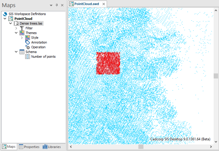
A relief theme can be used for the point density:
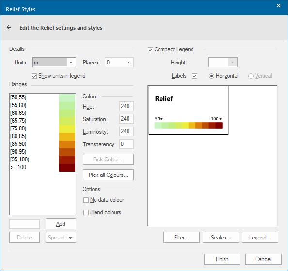
The relief theme will show:
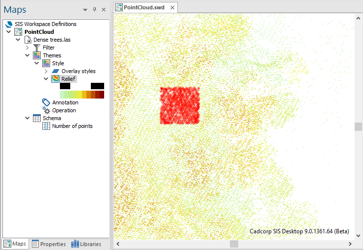
A relief theme can used for Point Cloud items using the point height/z value, for both the Pen and the Brush colour.