Access the Capabilities Document
The capabilities document holds all meta data for a map (for instance particular locations for resources and data).
These URLs are present in the capabilities document: use them when adding data to your Cadcorp SIS WebMap site.
- For WFS - http://localhost:[YourGeognoSISPort]/Admin/9/Services/Cadcorp.GeognoSIS.9-1/Admin/Services/OGC/WFS/Service?
- For WMS - http://localhost:[YourGeognoSISPort]/Admin/9/Services/Cadcorp.GeognoSIS.9-1/Admin/Services/OGC/WMS/Service?
- For WMTS - http://localhost::[YourGeognoSISPort]/Admin/9/Services/Cadcorp.GeognoSIS.9-1/Admin/Services/OGC/WMTS/Service/1.0.0/WMTSCapabilities.xml
In your GeognoSIS instance open Web Services > OGC Services.
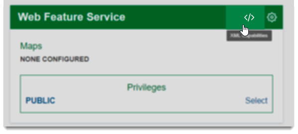
Select your service (WFS, WMS or WMTS) and click on the tag icon to open the Capabilities Document.