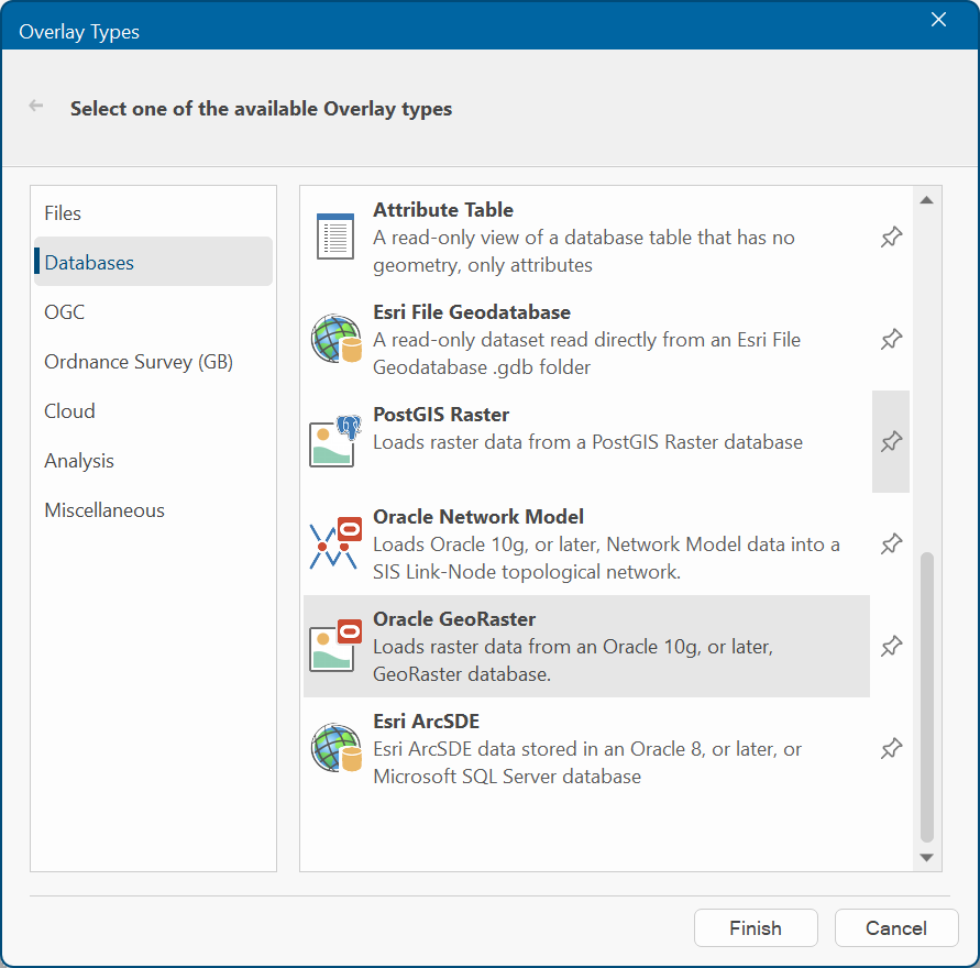
Oracle GeoRaster
The Oracle GeoRaster loads raster data from an Oracle 10g (or later) Georaster database.
Select Add Overlay > Databases > Oracle GeoRasterr and click Next.
| Option | Description | |
| User | Oracle user name | |
| Password | Password for the Oracle account | |
| Server | Oracle server to be used. This is sometimes referred to as the 'Net Service Name' or 'Host String'. | |
| Save password in UI settings database (encrypted) | Check this tickbox to store password in SIS Desktop 9.1‘s UI settings database. The password will be stored in encrypted form for security. | |
Click Next to open the Oracle Spatial GeoRaster dialog.
Connection Type
Dynamic: Maintains an active connection to the Oracle Database with all redraws returning to the server. The Dataset will be editable subject to Oracle user privileges.
Local cache: Makes a local copy of the entire table. The dataset will be read-only.
One-off import: Copies the entire table into an Internal Overlay.
Create Grid(s): Check this tickbox if you want SIS to convert the resulting load into a Grid item. A Grid item is an item that is displayed as a raster image. It is made up of coloured cells or pixels, the colour corresponding to a numerical value. This option is not applicable to Dynamic connections.
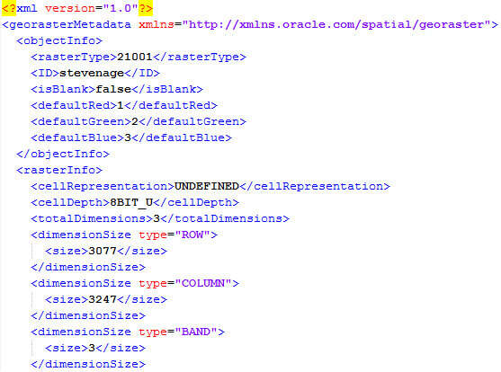
Metadata: Press the Metadata button to open or save the Metadata as a .tmp file. You can change the .tmp extension to .xml and save the file in XML format. The following is an example of part of a Metadata XML file:
Click Finish when you have selected the Oracle Spatial GeoRaster to load into SIS Desktop.