Storing Spatial Features in Databases
Benefits of storing Spatial Data in RDBMS Cursor Datasets
- Proprietary spatial storage solutions can be avoided
- Large volumes of data can be stored
- GIS information can be made available throughout the organisation
- Improved management of data:
-
- disaster recovery
- sharing data
- security access
- version control
- disaster recovery
- SQL interface allows relatively open access from GIS and non GIS applications
- Non spatial applications can use the same RDBMS Cursor Dataset tables
- Server side GIS capabilities allows large volume spatial analysis
Supported Databases
SIS Desktop 9.1 supports the following databases for read and write capabilities using a spatial geometry object:
Oracle (Standard and Enterprise editions)
- Oracle
- Oracle Locator and Spatial (using SDO_Geometry)
- Oracle Network Model
- Oracle Raster
SQL Server (Standard and Enterprise editions)
- SQL Server
- SQL Server Spatial
PostgreSQL
- PostgreSQL using PostGIS
SIS Desktop 9.1 supports the following databases for read and write capabilities using Editable Geometry (a SIS Desktop 9.1 controlled multi-user environment for concurrent data editing), BLOB (Binary Large OBject) or OGC SQL92 Dataset:
- Oracle
- SQL Server
- PostgreSQL
- Access
- Any ADO or ODBC compliant database
SIS Desktop 9.1 supports the following databases for read only access for proprietary or user defined geometry fields:
- Oracle using SDE
- Oracle using view points
- SQL Server using view points
- PostgreSQL/PostGIS using view points
- Any ADO or ODBC compliant database using view points
SIS Desktop 9.1 has various formats for storing spatial data in any of the databases listed above. Some formats are specific for a particular database, other formats can be stored in any database. Each format is made available for use in SIS Desktop 9.1 as a dataset.
The Databases tab of the Overlay Types dialog shows the available spatial database types: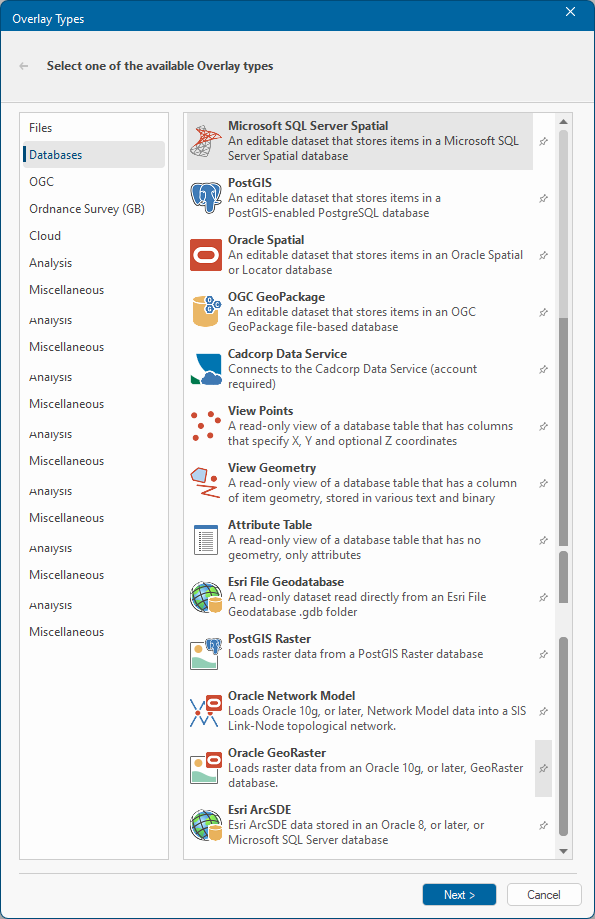
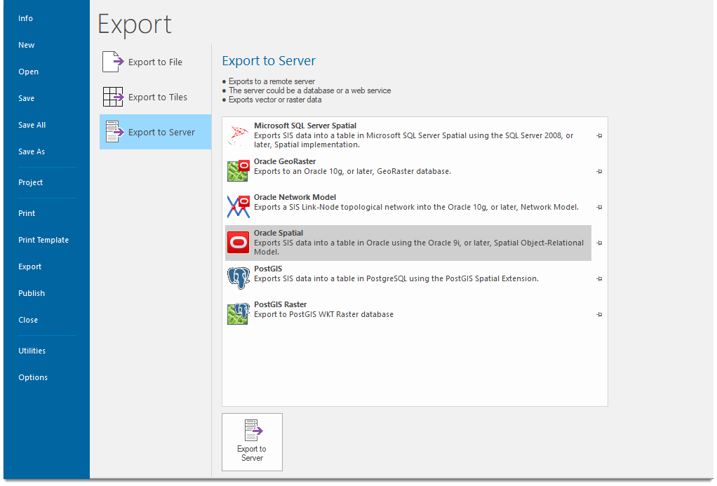
The Export to Server window shows all spatial formats that can be used to export spatial data to databases: