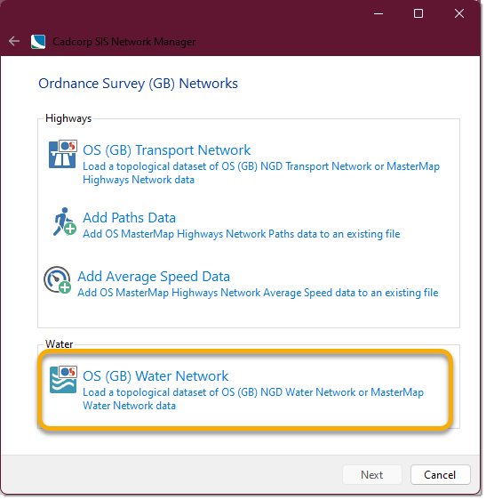
OS Network Manager- Water
OS Water loads and processes Water data into a new file.
- Click File > Utilities > Ordnance Survey (GB) and select OS Network Manager.
- Select OS (GB) Water Network from the options.
- Use the file browser to navigate to the location of the source files and click Next.
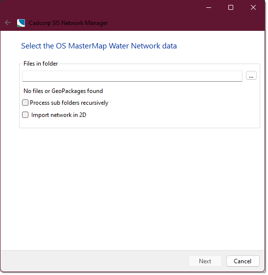
- The number of gz/gml files selected for loading will now be shown.
- To search and access associated sub-directories, enable the Process sub folders recursively option.
- Check the Import network in 2D option if required. This will disregard the z value in the Highways data which can sometimes distort snapping.
- Click Nextto create a NEW bds file to hold the topological data from the gml files.
- Navigate to an appropriate location to hold the bds file, enter a name and click Save.
- You also have the option of saving and exporting it into a separate file.
- Click Next > Load to begin loading the data.
- When complete, click Close. (You can see the confirmation message in the log.)