NGA Digital Nautical Chart (DNC)
Loads Vector data of significant maritime features.
Select Home > Add Overlay > Miscellaneous > GDAL and click Finish.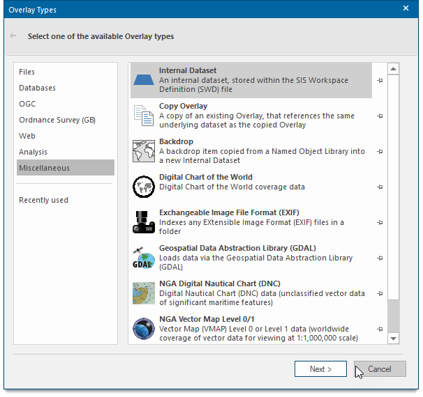
The NIMA Vector Map Level 0/1 - Edition 003 dialog will be displayed:
![]()
| Option | Description | |
| Source Coverage | Browse to the folder from which to load the coverage. Remember to also select the Coverage(s) from the available list. | |
| Source Extents | Centre (degrees) Longitude - in the range -90 to 90 or -180 to 180. Centre (degrees) Latitude - in the range -90 to 90 or -180 to 180. Extents (degrees) Width (E/W)/Height (N/S) - in the range 1 to 360. | |
| Gazetteer | If the Gazetteer button is active, information can be used to specify the source extents. | |