OS MasterMap Highways Network

OS MasterMap Highways Network allows Highways data supplied directly from Ordnance Survey to be loaded into SIS. This option should be used for initial visualisation of the Highways data.
- Select Add Overlay > Ordnance Survey (GB) > OS (GB) Transport Network.
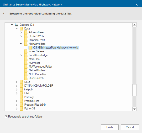
- Click Next to display the Ordnance Survey MasterMap Highways Network dialog
- Browse to the root folder containing the OS (GB) MasterMap Highways Network files and click Finish:
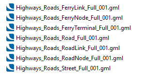
Taking as an example the OS (GB) MasterMap Highways Network folder that contains the following .gml files:
Select the folder and click Finish.
The following map will be displayed: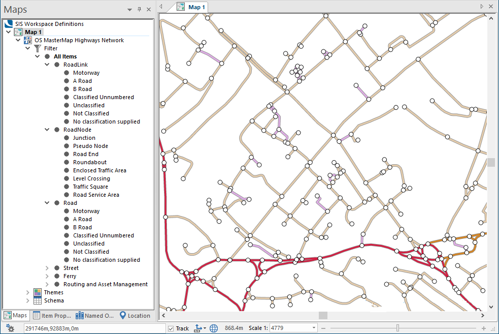
This layer is topologically structured and can be used with the SIS Desktop Routing Tools, for network analysis (including Point to Point routing based on road classification) as well as the underlying topology.
To avoid loading large .gml files every time a network is required, we recommend you use the OS Network Manager to load Highways data into a single topologically structured file (see below).
Loading data using the ‘drag and drop method’
You can load OS Highways data into Cadcorp SIS Desktop by simply dragging a Highways .gz file into the SIS Desktop window.
Some file types (for e.g raster images, .gx, .gml or AutoCAD .dxf) may need configuring before using drag-and-drop.
Note: This method will not create a routable network in SIS Desktop and will not apply any routing information or U-turn restrictions. It is a method to simply display the data in SIS Desktop.