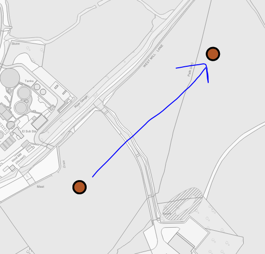
Polar (measure positions from a point)
Polar can measure positions using Bearings and Distances from a point.
Use the Polar command to select an item on the map and then create a new one based on a bearing and a distance.
When the origin has been defined, future positions are displayed in a polar coordinate system.
Select View > Axes > Coordinates and select the Polar system.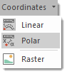
Now click a point on the map to select it.
Go to the Create tab.
Click on Point (in the Simple group) and place a point at the required start position. The point will show as 0m in the position bar.
In the Position bar, create another point at a bearing of 45 degrees, 200m away. Simply type this in the position bar at the bottom: 45,200,0.