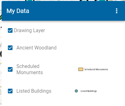
Data Layers
Data Layers are mapping layers you can see and interrogate. You can view these layers in WebMap’s Map Features and also turn them on/off.
Data Layers can come from various sources:
- GeognoSIS SWD (Recommended)
- OGC WMS (Recommended)
- OGC WFS
We recommend using a GeognoSIS SIS Workspace Definition (SWD) for Data Layers. SWDs make it easier to:
- Identify layers to be used for Query options.
- Define datasets from locally sourced files and databases and also to style and structure the data exactly to your requirements.
- Include options to build legends for display of data and
- Determine which attributes can be viewed by the user.
Additional Data Layers from third party sources can be added as OGC WMS services. Create Data Layers using Add Layer.
Note: To display data overlays in WebMap’s Map Features simply tick the Include in Layer Tree checkbox.