 PostGis
PostGis
PostGis
Location: Overlay Types > Ordnance Survey Great Britain > OS MasterMap Topography Layer > PostGIS
This is an editable dataset that stores items in a PostGIS-enabled PostgreSQL database, using the PostGIS spatial schema.
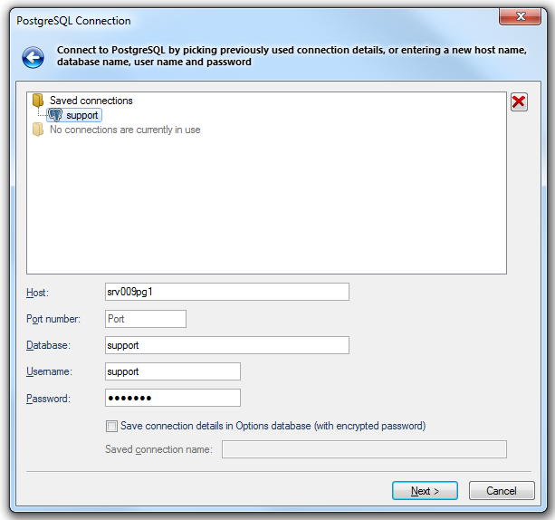
This allows SIS to interoperate with other software that supports the PostGIS spatial schema.The PostgreSQL Connection dialog will be displayed:

Host
The PostgreSQL database server host.
Port number
The PostgreSQL database server port.
Database:
Specify the database name to connect to.
User name:
The PostgreSQL database user name.
Password
The password for the specified PostgreSQL user name.
Save connection details in Options database (with encrypted password)
Check this tickbox if SIS should store these connection details in the Options database. The password will be stored in encrypted form for security.
Saved connection name
This text box will become active if the Save connection details in Options database (with encrypted password) tickbox is checked. Enter a meaningful name for this connection. This text box cannot be left blank and the same name cannot be used twice.
If the PostGIS connection has been made previously, and the connection details saved, the PostgreSQL Connection dialog will be displayed in the form shown below:
In this case click one of the Saved connections to complete the connection details.
If there are any connections currently in use these will be shown as follows:
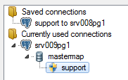
in this case one of these currently used connections can be selected to complete the connection details.
Click Next.
The PostGIS Layers dialog will be displayed:
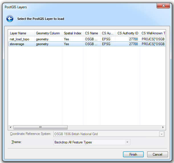
Select the required PostGIS Layer to load into SIS.
Theme
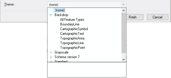
Allows you to select the theme type suited to your required styling.
Click Finish.
Send comments on this topic.
Click to return to www.cadcorp.com
© Copyright 2000-2017 Computer Aided Development Corporation Limited (Cadcorp).