Export as an ASCII MapInfo Data Interchange Format (MIF), comprised of two files – geometry graphics file (*.mif) and attributes (*.mid). Styles are maintained through export. Gives the option to change field names and length of character fields.
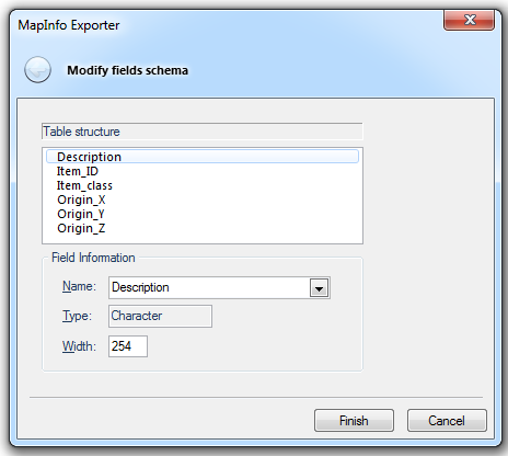
When exporting to MapInfo Interchange (*.mif) the following MapInfo Exporter dialog is displayed:

The MapInfo Exporter dialog allows you to specify the table structure and field information.
0.30.See full list of Export Formats
Click to return to www.cadcorp.com
© Copyright 2000-2017 Computer Aided Development Corporation Limited (Cadcorp).