Querying data in the Map Window
With external or user data displayed on screen you can access information on:
- the dataset file (e.g. the date it was created and amended, its scale and coordinate reference system, etc.)
- individual items within the files (e.g. their feature code, item class, length if they are a LineString item, etc.)
This topic describes how to access this information.
Querying datasets
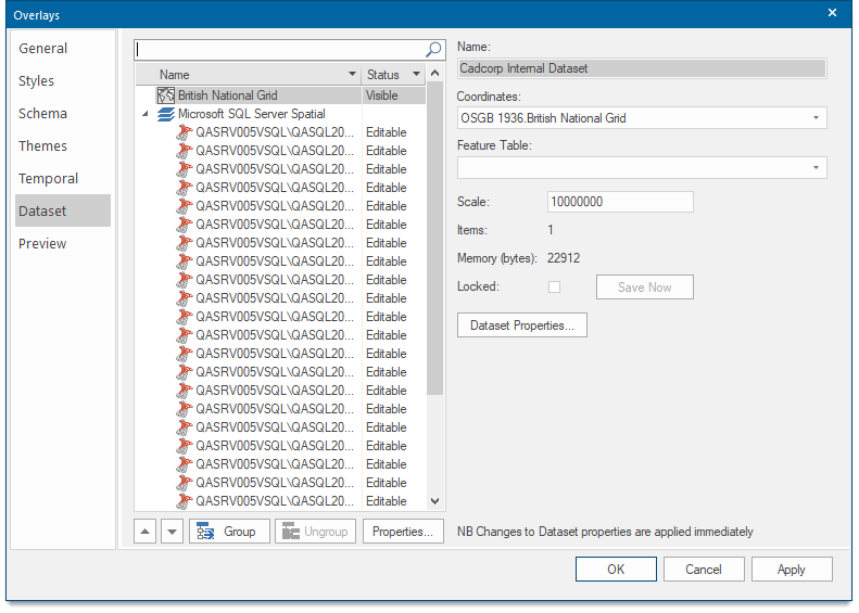
The Dataset tab of the Overlays dialog contains information about the datasets included as overlays in the current SWD. Some of these settings can be changed from here.
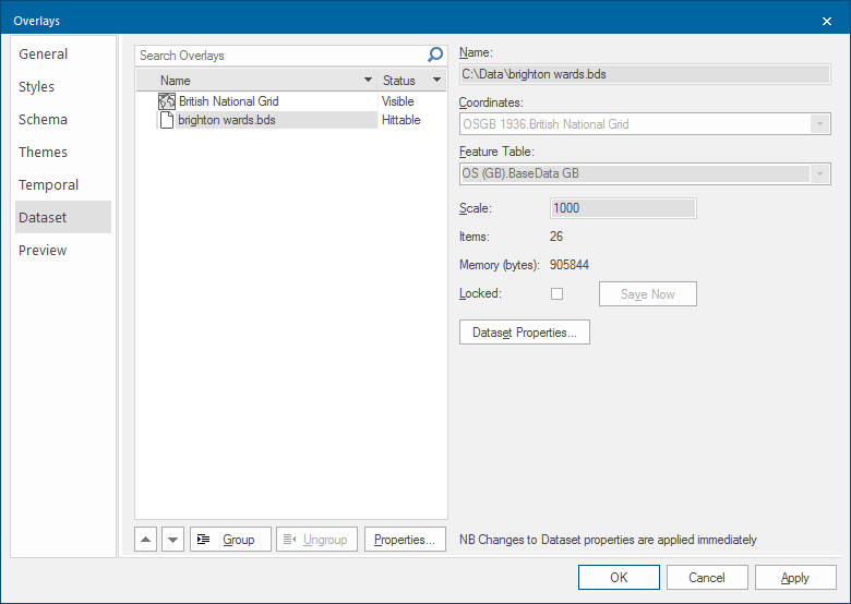
The Dataset tab displays:
- the name of the dataset to which the overlay refers
- Coordinates - the Coordinate Reference System, this can be changed as follows:
- Coordinate Reference System window
- the dataset’s Dataset Details
In the case of a BDS, you will see and can change the Coordinates system projection and the scale. Other information is shown and you can also access the overlay’s properties.
This same information is also accessed in the Maps Control Bar and from an overlay’s local command Dataset > Properties....
Maps Control Bar
The Maps Control Bar shows a tree structure for all the SWDs in the current session showing the overlays they contain and the contents of those overlays.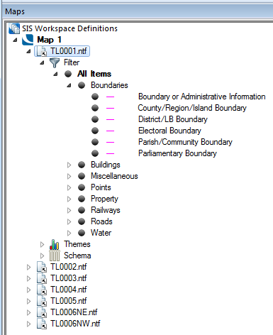
The local menu for each overlay includes the Properties command this displays the Overlays dialog, the Dataset tab gives the information on the dataset to which the overlay refers:
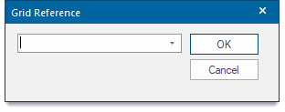
Finding grid references
To find a grid reference, use Home > Zoom > Grid Reference and enter the desired reference. SIS Desktop zooms the map window to show the position if it exists.