Geo-referenced Raster Data
Geo-referencing is the process of matching geographic information to static place images; this enables a GIS software to 'place' the image in its appropriate real world location. See here for more information.
In SIS Desktop 9 Geo-referenced raster data may be included as overlays like any dataset.
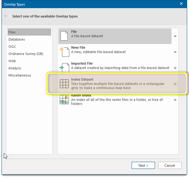
To do this, use the File, Imported File, or Cadcorp Index Dataset options in the Overlay Types dialog.
Index datasets in particular provide a good method for handling large amounts of spatially-referenced raster data because it makes fewer demands on the computer’s memory resources.
Overlays should be re-ordered to ensure that overlays containing raster data are drawn first. If raster data is drawn on top, all data underneath is covered. See Order of the overlays.
TIP: If raster data is not spatially-referenced, you may still be able to place it at an exact map location. See Geo-referenced raster files which do not use standard OS naming conventions.
SIS Desktop 9 automatically detects whether the file is compressed, and what form of compression has been used. Compression types supported are TIFF (Packbits, Huffman, CITT Group 3, CITT Group 4), JPEG, PNG, RLC and MrSID. SIS Desktop 9 supports top-left and bottom-right orientation TIFF files.
With black and white raster data, the white parts can be made transparent enabling you to see through it to the data beneath.
To achieve this, set the overlay Brush to Hollow and select the Brush override. You should be aware that the darker a transparent Brush, the less you will see underneath.
Checking the Overlay - Colour - Override tickbox on the Styles tab of the Overlays dialog enables you to display the black part of a black and white bitmap in any colour you choose:
