SIS- Point-to-point
Point-to-point is used to find the distance between two points on LineString and Link items and the perimeter of Polygon items.
Select Analysis > Routing > Point-to-point > SIS.
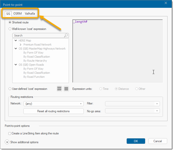
Select one of the route options.
- Shortest - Finds the shortest route over any data in any Dataset, including non-topological data.
- Well-known 'cost'- choice of well-known mapping networks.
- User-defined 'cost' Expression - Select this option to use an expression to calculate the iso-route. For e.g. an expression may be used to take into account the speed limits on the roads in order to calculate an iso-chrone based on time rather than distance.
1. Shortest Route
To find the shortest route, the _length# property of the items is used.
You could create an expression to enable the “cost” of each link to be used, or if the expression were:
_length#/SpeedLimit&
then the time for each link would be calculated.
Note: The attribute SpeedLimit& must exist for each link.
2. Well-known Cost Expressions
Finds the cheapest route using a well-known expression as the 'cost' of a link. Many of these options are similar to the ones available in other routing options.
- HERE Map
- OS (GB) MasterMap Highways Network
- OS (GB) NGD Transport Network
- OS (GB) Open Roads
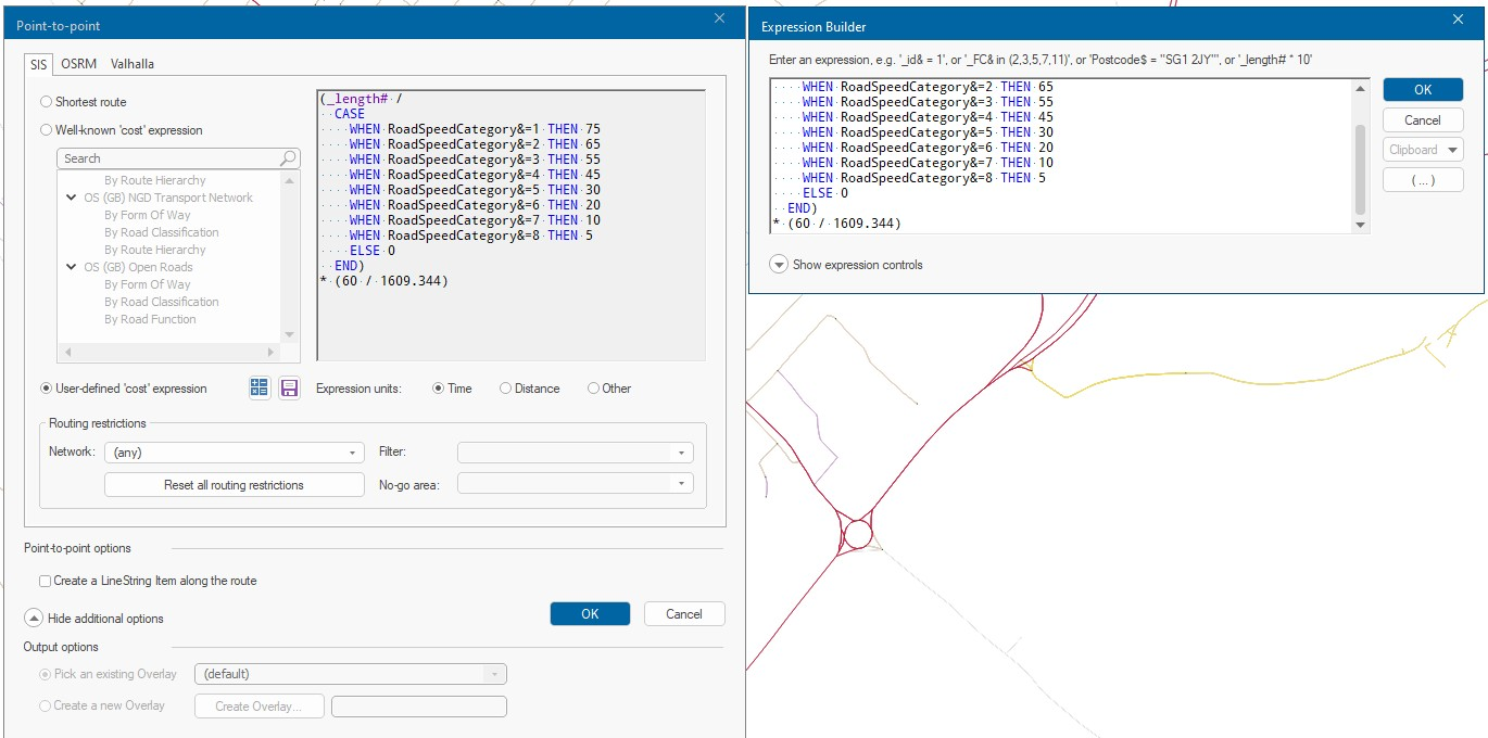
3. User-defined Cost Expression
Finds the 'cheapest' route using the expression as the 'cost' of a Link over any Link/Node network. Open the expression builder to create your own expression with unique values. When run, the result of the expression can be expressed in Time, Distance or any other value.
Press Save to save the expression to a .NOL.
Here is an example based on a HERE map but the speeds have been reduced by 5 miles to gauge the effect of times on point- to-point routing.
Routing Restrictions
| Network | Select the overlay that contains the routing network. To select all overlays, leave the menu option as "any". |
| Filter | Specify a filter to use when looking for Links and Nodes on the routing network. |
| No-Go | Specify a no-go area to use when looking for Links and Nodes on the routing network. A No-go area is simply a user-defined area of the map which routes cannot pass through (for eg: an area of flooding or avoiding roads within x metres of an incident). A No-go area is a type of spatial filter. |
Point-to-point
Routes can be measured on external data such as Ordnance Survey MasterMap. Be aware however with OS MasterMap digitising styles, you will often find what appears to be a single LineString item is in fact made up of several shorter LineString items).
Enable Create a Line String along the route to create a new LineString item; this helps you to store the geometry of the route as a permanent item for future use.
To define a route on a vector network from point A to point B SIS Desktop will find a route across the network, generate the LineString item and place it in an editable overlay: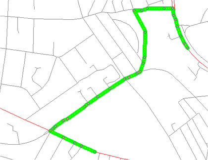
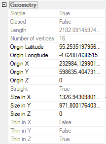
In this case the LineString item's length is expressed as an attribute: