Drawing
Users can interact with available maps by drawing freehand shapes, polygons/circles, assign a symbol or icon and even add text 
If you have set up suitable security, users can also save added drawings. ![]() Related Topics
Related Topics
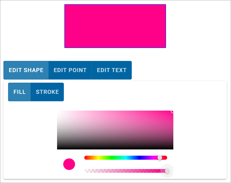
Click the palettes to select colours for fill and stroke (outline of a shape). Use the sliders to set transparency and size.
Selecting an icon
Custom icons can be assigned to points. Inside the Edit Point window, click Icons > Add Pin.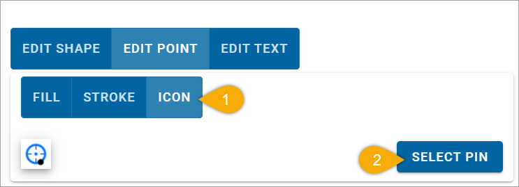
Choose from the available library of icons. To include a custom icon, click Add and upload the icon image of your choice.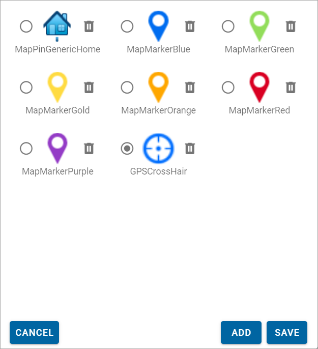
When you see your custom icon on the list, move the black dot to the hook point of the icon. The hook point positions the icon to the left/right or above/below the center of the location. This is done so the icon does not obscure the name of the location.
For printing, ensure a corresponding symbol is created and added to NOL used by GeognoSIS with the same name as the icon. This is required for publishing to a PDF file.
Drawings and files created by users are saved as JSON files and automatically stored in WebMap’s folders here: (C:\inetpub\wwwroot\siswebmap9.1.2311.0\userFiles\map_name\user_name\guid\features.json)
The JSON file can be read directly by SIS Desktop or Desktop Express. This allows the same user to have different annotations stored against different maps.