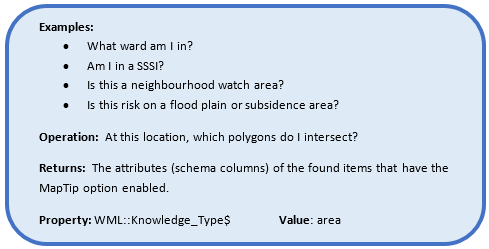
Knowledge Types- Area
There are two types of local area knowledge queries available:
- On a continuous dataset: e.g. a postcode map where you are certain to always get a response.
- On a discrete dataset: e.g. determining if the current location is either ‘in’ or ‘out’ of a defined area feature.
Adding a property
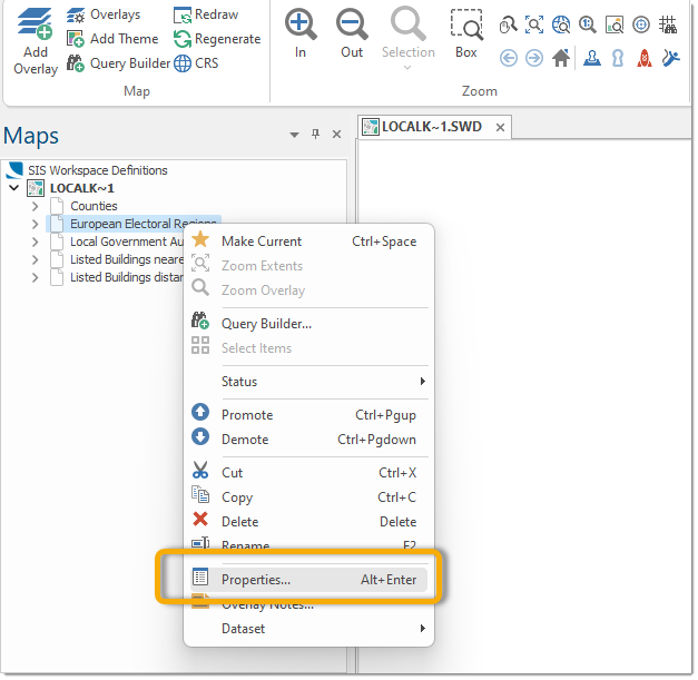
In your Local Knowledge SWD, right click on the overlay you wish to add the property to and select Properties: ![]() Related Topics
Related Topics
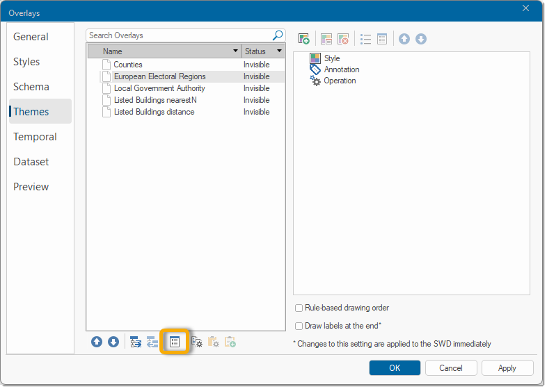
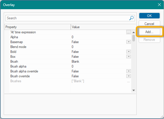
Then select Properties again in the Overlays dialog:
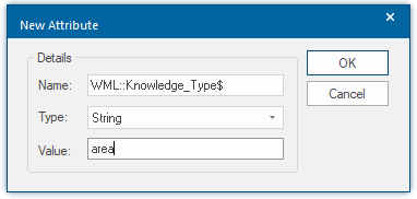
And finally, select Add… to add a new property:
Add this attribute to the layers you want to query for area.
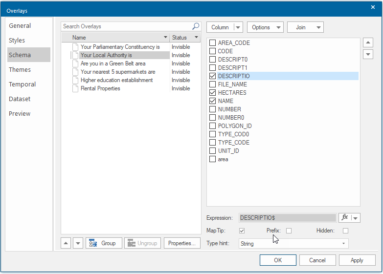
For more detail within the results, choose the Map Tip inside Schema. This displays the schema attributes you have chosen. In this example, only the attributes DESCRIPTIO, HECTARES and NAME will be displayed.
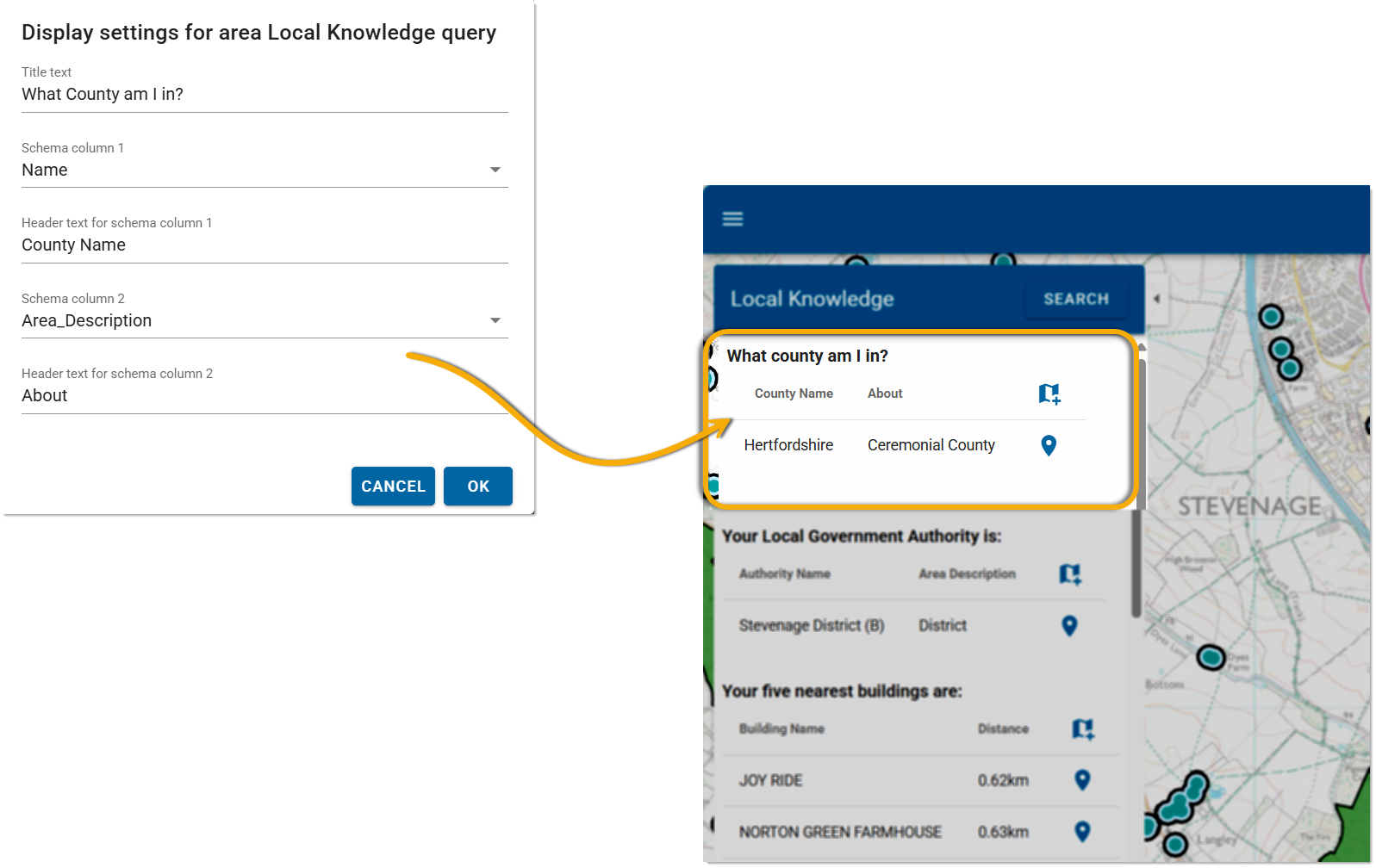
Discrete dataset worked example: What county am I in?
In this example, a Local Knowledge template is used to display the name of the county and a description of the county on the user map. Enter the title text, headers and select the relevant schema column from the database to display results that are comprehensive and precise.