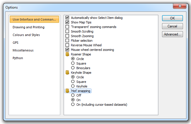
'Hot' snapping enables you to select features and snap to vertices easily on an RDBMS cursor dataset overlay by clicking on them with the left mouse button (whilst the cursor is in its default select mode i.e. arrow as the mouse cursor). There is a performance overhead for this option so the feature can be switched off in the Options [Application] dialog:
Note: If the 'Hot' snapping radio button is set to off map tips will not display.
With 'Hot' snapping switched off use the following ‘hot’ keys to select features while the mouse cursor is hovering over the feature:
| A | = | to select Polygon items |
| L | = | to select LineString items |
| P | = | to select Point items |
| C | = | to select the Centre of an item |
| V | = | to select a Vertex |
| M | = | to select the Middle of a LineString |
| X | = | to select the cross of two LineStrings |
See Snapcodes for further details of ‘hot’ keys and snapcodes.