.gif) Point-to-point Point-to-point
Point-to-point Point-to-point
Point-to-point is used to find the distance between two points on LineString and Link items and the perimeter of Polygon items. You will see a route drawn between the points. The items must intersect and must be on an editable or hittable overlay for this command to operate.
Selecting Point-to-point will display the Route dialog:
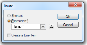
Shortest - Finds the shortest route. This method can be used with any geometry.
Expression - Finds the route that minimises the addition of an expression, or simple property, values. This method only works with Link/Node topology. For example, use "_length#" to achieve the same effect as the Shortest option, but only using the Link item geometry.
Create a Line Item - Check this tickbox if you want to create a LineString item along the found route. This enables you to store the geometry of the route as a permanent item for future use.
Routes can be measured on external data such as Ordnance Survey MasterMap (although due to the way it was digitised, you will often find that what appears to be a single LineString item is in fact made up of several shorter LineString items).
You can also route find on LineString items created with LineString [Draw-Simple] and Freehand [Draw-Advanced], and on the outlines of closed Polygon items.
For example:
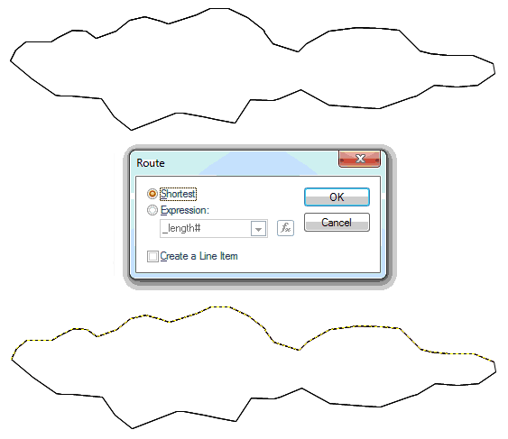
Route-finding is especially powerful with topology, where routes can be found across a link and node network. The route can also be based on a chosen expression.
If you wish to define a route on a vector network from point A to point B SIS will find a route across the network, generate the LineString item and place it in an editable overlay:
In this case the LineString item's length is expressed as an attribute:
Top of page
Click to return to www.cadcorp.com
© Copyright 2000-2017 Computer Aided Development Corporation Limited (Cadcorp).