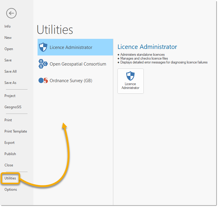
Utilities- File menu

Click File on the Ribbon and select Utilities.

 
  • Administers standalone licences
  • Manages and checks licence files
  • Displays detailed error messages for diagnosing licence failures

Note: See Licence Administrator for more information.

  • Supports managing OGC Geo Package database files
  • Tools include adding spatial indexes, and merging together separate OGC Geo Package database files into a single, new file
  • Supports OS OpenMap - Local, OS Open Rivers and OS Open Roads
  • Loads data into a spatial database, eg Microsoft SQL Server Spatial, Oracle Spatial/Locator or PostGIS
 
  • Supports OS VectorMap District and OS VectorMap Local
  • Loads data into a spatial database, eg Microsoft SQL Server Spatial, Oracle Spatial/Locator or PostGIS
 
  • Supports OS MasterMap Topography Layer
  • Loads data into a Cadcorp ODB file or a spatial database, eg Microsoft SQL Server Spatial, Oracle Spatial/Locator or PostGIS
  • Supports initial loads and change-only updates
 
  • Supports OSMasterMap Highways Network
  • Loads data into a full topological route network