Starting WebMap from a URL
WebMap is usually launched using the URLs provided during installation.
TIP: See also Installation URLs 
You can also tweak these URLs and use them to open a map view quickly and directly inside your browser. Adding or removing parameters in this way is called “decorating a URL”.
This method bypasses navigating through the WebMap tools or menu.
1. Include Map in the URL to display all available map cards. e.g.
https://servername/webmap91/en-gb/Map/
2. Include the map name in the URL to open the map directly (bypassing the Manager interface). For e.g.
https://servername/webmap91/en-gb/PublicMap/PublicMap#/
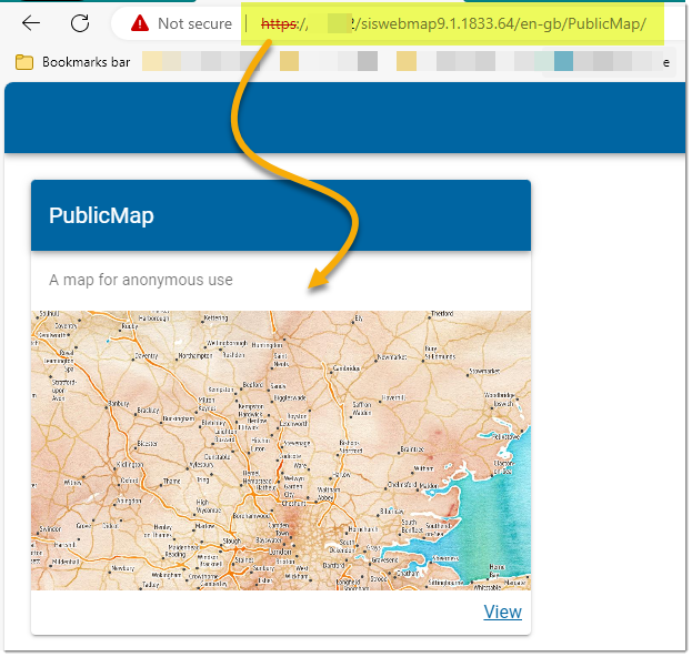
Using just the first mapname will show the map Card, with image and description for the map e.g.
https://servername/webmap91/en-gb/PublicMap/
Maps can be opened directly on one of the tool options or extensions. (See Starting Dialog on WebMap Manager)
You can however override the Starting Dialog. To do this, use initialroute as a parameter.
For example:
~/en-gb/PublicMap/PublicMap?initialroute=localKnowledge
~/en-gb/PublicMap/PublicMap?initialroute=mydata
This will open the map on Local Knowledge or My Data irrespective of whatever extension has been set in the Starting Dialog.
Here are additional parameters (case-sensitive) that can be added to the URL:
| Additional parameter |
WebMap Opens | Extension Required | Example |
| geolocate=true | Launches WebMap with centre set at current location. | None | ./webmap91/en-gb/PublicMap/PublicMap?geolocate=true#/ |
| x=545352&y=258359&resolution=17 | Opens at specific location (x, y coordinates) and a specific resolution. | None | x=545352&y=258359&resolution=17 |
| baseLayer=[BaseLayerName] | Open with specified Base Layer in active state. | None | ./webmap91/en-gb/PublicMap/PublicMap?x=545352&y=258359& zoom=10&baseLayer=OpenStreetMap |
| overlayname=<overlay name>& schemacolumn=<schema column name>&uid=<schema column value> | Launches WebMap with view centered on a specific feature. | Query | ./webmap91/en-gb/PublicMap/PublicMap?overlayname=Scheduled%20Monuments& schemacolumn=Name&uid=Tilbury%20Fort#/ |
| datalayers=[OverlayName] | Launch WebMap with specified data layers visible. You can use multiple overlays inside this parameter, simply separate each overlay using commas. | None | ./webmap91/engb/PublicMap/ PublicMap?datalayers=Scheduled%20Monuments |
| showpin=true | Place a pin at the location where the map opens. | Coordinates | ./webmap91/en-gb/PublicMap/PublicMap?showpin=true#/ |
Dialogs
Specific extensions can be called by adding #/<Extension Name> to the the map request URL. For e..g ./webmap91/en-gb/PublicMap/PublicMap?#/MyData
These extensions can be called using the URL:
- #/MyData
- #/Query
- #/Measure
- #/Drawing
- #/localKnowledge
- #/ReportIT
- #/ZoomToCoordinates
- #/Bookmarks
- #/Drawing
- #/Editing (Private maps only)
- #/FeatureInformation
- #/ReportIT
The following parameters are also available but should be used together (to open a map on a specific feature):
- overlayName=<overlay name>
- schemacolumn=<schema column>
TIP: Expression name minus the property symbol ($, &, @ etc)
-
UID=<unique value for a feature in the schema column>