 Microsoft Bing Maps Microsoft Bing Maps
Microsoft Bing Maps opens a window to the Microsoft Bing Maps geospatial mapping application.
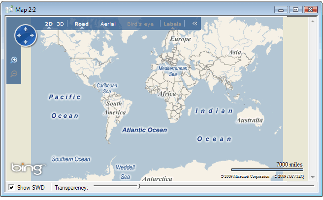
Microsoft Bing Maps imagery is taken from satellite sensors, aerial cameras, this includes "birds eye" aerial imagery taken at a 45 degree angle to show building details. Microsoft Bing Maps also includes 3-dimensional city models and terrain.
See: http://www.microsoft.com/maps/
See also: Microsoft Bing Maps For Enterprise
Top of page
Send comments on this topic.
Click to return to www.cadcorp.com
© Copyright 2000-2017 Computer Aided Development Corporation Limited (Cadcorp).