OGC (Open Geospatial Consortium)
You have an extensive choice of types to choose from when adding overlays.
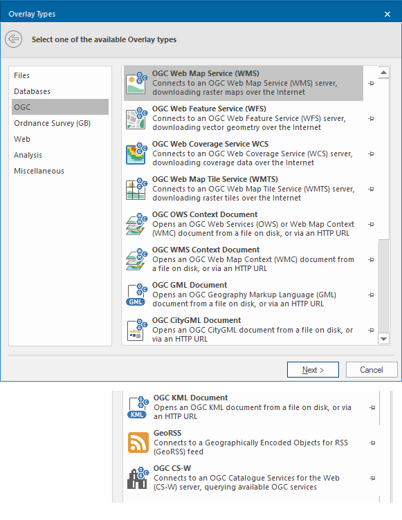
To see OGC options, select Add Overlay > OGC.
 icon.png) OGC Web Map Service (WMS)
OGC Web Map Service (WMS)
Acts as an OGC Web Map Service (WMS) client downloading raster images over the Internet. You can configure the connection to the OGC Web Map Service (WMS), e.g. layers to draw, image formats etc.
Note: Click here for the full description of the OGC Web Map Service (WMS) overlay type.
 icon.png) OGC Web Feature Service (WFS)
OGC Web Feature Service (WFS)
Acts as an OGC Web Feature Service (WFS) client, downloading vector geometry over the Internet. You can configure the connection to the OGC Web Feature Service (WFS), e.g. specify a filter.
Note: Click here for the full description of the OGC Web Feature Service (WFS) overlay type.
 icon.png) OGC Web Coverage Service (WCS)
OGC Web Coverage Service (WCS)
Acts as an OGC Web Coverage Service (WCS) client downloading coverage data over the Internet. You can configure the connection to the OGC Web Coverage Service (WCS), e.g. specify bands.
Note: Click here for the full description of the OGC Web Coverage Service (WCS) overlay type.
 icon.png) OGC Web Map Tile Service (WMTS)
OGC Web Map Tile Service (WMTS)
Acts as an OGC Web Map Tile Service (WMTS) client downloading raster tiles over the Internet. You can configure the connection to the OGC Web Map Tile Service (WMTS), e.g. Layers to draw, image format to use.
Note: Click here for the full description of the OGC Web Map Tile Service (WMTS) overlay type.
 OGC OWS Context Document
Opens an OGC Web Services (OWS) or Web Map (WMC) Context document. An OWS Context document contains references to one or more OGC Web Services, e.g. WMS, WFS, etc.
The document can be either a local (LAN) file or accessed via an HTTP URL.
Note: Click here for the full description of the OGC OWS Context Document overlay type.
 OGC WMS Context Document
Opens an OGC Web Map Context (WMC) document. A WMC document contains references to one or more OGC Web Map Service layers. The document can be either a local (LAN) file or accessed via an HTTP URL.
Note: Click here for the full description of the OGC WMS Context Document overlay type.
 OGC GML Document
Opens an OGC Geography Markup Language (GML) document. The document can be either a local (LAN) file or accessed via an HTTP URL
Note: Click here for the full description of the OGC GML Document overlay type.
 OGC CityGML Document
Opens an OGC CityGML document. The document can either be a local (LAN) file or accessed via an HTTP URL.
Note: Click here for the full description of the OGC CityGML Document option.
 OGC KML Document
Opens an OGC Keyhole Markup Language (KML) document. The document can be either a local (LAN) file or accessed via an HTTP URL.
Note: Click here for the full description of the OGC KML Document overlay type.
 GeoRSS
Connects to Geographically Encoded Objects for RSS (GeoRSS) feed.
Note: Click here for the full description of the GeoRSS overlay type.
 OGC CS-W
Connects to an OGC Catalogue Services for the Web (CS-W) server querying available OGC services over the Internet. You can configure the connection to the CS-W service, e.g. keywords to search for type of service required, area of interest, etc.
Note: Click here for the full description of the OGC CS-W overlay type.