Overlay Types - Databases
Once a spatial dataset has been read into SIS Desktop, we refer to it as an overlay.
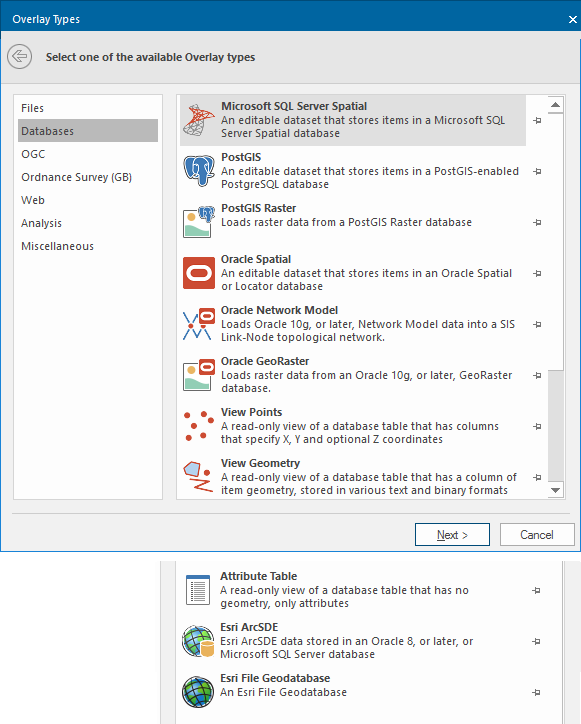
Spatial datasets can come from various database sources. To see Database sources, select Add Overlay > Databases.
It is important you understand your data before you attempt to open/display it in SIS Desktop. This will help you use the correct ‘Overlay Type’ to access your data.
Most organisations may have already chosen an appropriate database in which to store their spatial data.
Please consult your GIS information team for more information on the database used by your organisation.
In most cases you will require a user name and password and database/server name to access the data.
 Microsoft SQL Server Spatial
An editable dataset that stores items in a Microsoft SQL Server Spatial database using the in-built ‘geometry’ type. This allows Cadcorp SIS Desktop to interoperate with other software that supports the Microsoft SQL Server Spatial database planar geometry type.
Note: Click here for the full description of the Microsoft SQL Server Spatial overlay type.
 PostGIS
An editable dataset that stores items in a PostGIS-enabled database using the PostGIS spatial schema. This allows Cadcorp SIS Desktop to interoperate with other software that supports the PostGIS spatial schema.
Note: Click here for the full description of the PostGIS overlay type.
 PostGIS Raster
Loads raster data from a PostGIS Raster database.
Note: Click here for the full description of the PostGIS Raster overlay type.
 Oracle Spatial
An editable dataset that stores items in an Oracle 9i (or later) Spatial database using the Oracle Object-Relational schema. This allows Cadcorp SIS Desktop to interoperate with other software that supports the Oracle Spatial Object-Relational schema.
Note: Click here for the full description of the Oracle Spatial overlay type.
 Oracle Network Model
Loads Oracle 10g (or later) Network Model data into a Cadcorp SIS Desktop Link-Node topological network.
Note: Click here for the full description of the Oracle Network Model overlay type.
 Oracle GeoRaster
Loads raster data from an Oracle 10g (or later) GeoRaster database.
Note: Click here for the full description of the Oracle GeoRaster option.
 View Points
A read-only view of a database table that has columns that specify X, Y and Z coordinates. Each row will be represented as a Point item with attributes from other columns in the table.
Note: Click here for the full description of the View Points overlay type.
 View Geometry
A read-only view of a database table that has a column of item geometry stored as Binary Large Objects (BLOBs). Cadcorp SIS Desktop can use various formats for the BLOBs including the OGC standards. Each row with a valid BLOB will be an item within the dataset with attributes from other columns in the table.
Note: Click here for further details of the View Geometry overlay type.
 Attribute Table
A read-only view of a database table that has no geometry, only attributes.
Note: Click here for the full description of the Attribute Table overlay type.
 ESRI ArcSDE
ESRI ArcSDE data stored in an Oracle 8 or later database. ESRI ArcSDE and the ArcSDE logo are trademarks, registered trademarks, or service marks of ESRI in the United States, the European Community or certain other jurisdictions.
Note: Click here for the full description of the ESRI ArcSDE overlay type.
 ESRI File Geodatabase
An Esri File Geodatabase, read via the Esri FileGDB SDK.
Note: Click here for the full description of the Esri File Geodatabase overlay type.
 Back to Overlay types