 Microsoft SQL Server Spatial Dataset
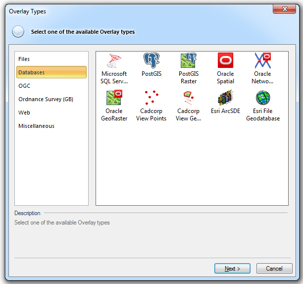
An editable dataset that stores items in a Microsoft SQL Server Spatial database, using the planar geometry type.
This allows SIS to interoperate with other software that supports the Microsoft SQL Server Spatial database planar geometry type.
Note: This data repository will be using SQL Server 2005 or before and does not have a defined spatial dataset type.
Click here for the full description of the Microsoft SQL Server Spatial Dataset option.
An editable dataset that stores items in a PostGIS-enabled PostgreSQL database, using the PostGIS spatial schema.
This allows SIS to interoperate with other software that supports the PostGIS spatial schema.
Connects to a PostGIS-enabled PostgreSQL database.
Click here for the full description of the PostGIS option.
Loads raster data from a PostGIS Raster database.
Click here for the full description of the PostGIS Raster option.
This is an editable dataset that stores items in an Oracle 9i, or later, Spatial database, using the Oracle Object-Relational schema.
This allows SIS to interoperate with other software that supports the Oracle Spatial Object-Relational schema.
Click here for the full description of the Oracle Spatial option.
Loads Oracle 10g, or later, Network Model data into a SIS Link-Node topological network.
Click here for the full description of the Oracle Network Model option.
Loads raster data from an Oracle 10g, or later, GeoRaster database.
Click here for the full description of the Oracle GeoRaster option.
A read-only view of a database table that has columns that specify X, Y and optional Z coordinates.
Each row will be represented as a Point item, with attributes from other columns in the table.
Click here for the full description of the Cadcorp View Points option.
This is a read-only view of a database table that has a column of item geometry, stored as Binary Large Objects (BLOBs). SIS can use various formats for the BLOBs, including the OGC standards. Each row with a valid BLOB will be an item within the dataset, with attributes from other columns in the table.
Click here for the full description of the Cadcorp View Geometry option.
ESRI ArcSDE data stored in an Oracle 8, or later, or database.
ESRI, ArcSDE, and the ArcSDE logo are trademarks, registered trademarks, or service marks of ESRI in the United States, the European Community, or certain other jurisdictions.
Click here for the full description of the ESRI ArcSDE option.
An Esri File Geodatabase, read via the Esri FileGDB SDK.
Click here for the full description of the Esri File Geodatabase option.
Other groups of overlays available from the Overlay Types main dialog:
Send comments on this topic.
Click to return to www.cadcorp.com
© Copyright 2000-2017 Computer Aided Development Corporation Limited (Cadcorp).


 Cadcorp View Points

